
Postal codes 84539 Population 6,077 (31 Dec 2008) Postal code 84539 | Time zone CET/CEST (UTC+1/+2) Dialling codes 08636 Local time Wednesday 5:54 AM | |
 | ||
Weather 2°C, Wind SW at 18 km/h, 76% Humidity | ||
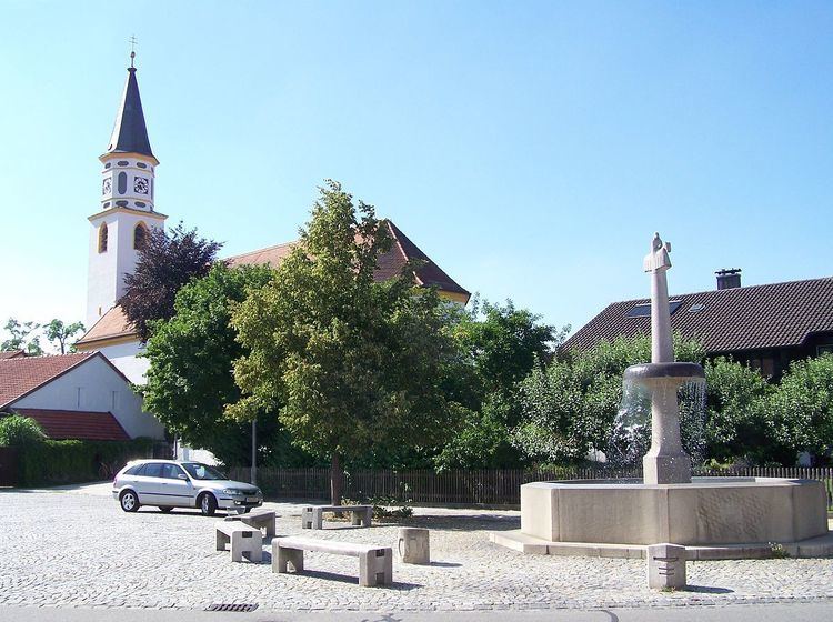
Ampfing is a municipality in the district of Mühldorf in Bavaria in Germany.
Contents
Map of Ampfing, Germany
History
The Battle of Mühldorf was fought on September 28, 1322 between Bavaria and Austria in Ampfing Heath. The Bavarians were led by Louis the Bavarian, while the Austrians were led by his cousin Frederick I of Austria. The battle did not go well for the Austrians; they were defeated, and more than 1000 noblemen from Austria and Salzburg were captured, as was Frederick himself.
It was one of the sub-camps of Dachau concentration camp.
Geography
Ampfing is located in the region Southeast-Upper-Bavaria (Südostoberbayern) in the valley of river Isen.
Politics
Ottmar Wimmer (CSU) is mayor.
Community tax yield amounted 5,581,000 € (converted) in 1999, thereof trade tax yield 2,948,000 € (net).
Coat of arms
Divided into silver and blue; in the upper part two obliquely traversed flails, in the lower part a golden boring tool.
The town's flag shows the colours red and gold.