
Country Uganda Time zone EAT (UTC+3) Area 1,758 km² | Website www.amolatar.go.ug | |
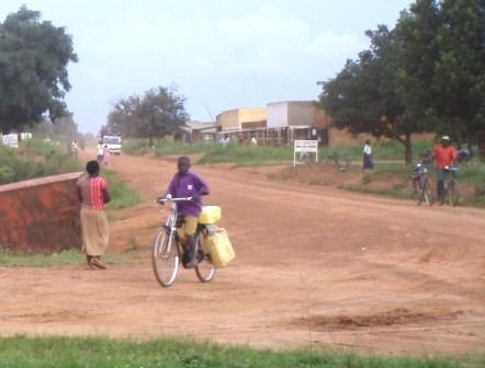 | ||
Amolatar District is a district in Northern Uganda. Like many other Ugandan districts, it is named after its main municipal and administrative centre, Amolatar Town.
Contents
Location
Amolatar District is bordered by Apac District to the north, Dokolo District to the northeast, Kaberamaido District to the east, Buyende District to the southeast, Kayunga District to the south and Nakasongola District to the west. The administrative headquarters of the district at Amolatar, are located 85 kilometres (53 mi), by road, south of Lira, the largest city in the sub-region. This location lies about 185 kilometres (115 mi), by road, northeast of Kampala, the capital of Uganda and the largest city in that country. The coordinates of the district are:01 38N, 32 50E.
Overview
Amolatar District was formed in 2005, when it was carved out of Lira District. The district is part of the Lango sub-region, together with the other seven districts listed below. The constituent districts of the Lango sub-region are: 1. Amolatar District 2. Alebtong District 3. Apac District 4. Dokolo District 5. Kole District 6. Lira District 7. Oyam District and 8. Otuke District.
In all, the district contains 346 villages, organized into 33 parishes. The district covers an area of approximately 1,758 square kilometres (679 sq mi). Administratively, the district is divided into the following administrative units: (a) Amolatar Town Council (b) Muntu Sub-county: 426.16 square kilometres (164.54 sq mi) (c) Awelo Sub-county: 377.20 square kilometres (145.64 sq mi) (d) Namasale Sub-county: 524.18 square kilometres (202.39 sq mi) and (e) Aputi Sub-county: 254.23 square kilometres (98.16 sq mi).
Population
The 1991 national population census estimated the district population at about 68,500. The 2002 national census estimated the population of the district at approximately 96,200. The district population is growing at an estimated annual rate of 2.9%, between 2002 and 2012. It is estimated that the population of the district in 2012 was about 127,400.
Economic activities
Subsistence agriculture, animal husbandry and commercial fishing from area lakes constitute the economic engine of the district. Crops grown include:
Livestock raised in the district includes: cattle, goats, chicken and turkeys.