
Local time Wednesday 1:45 AM | ||
 | ||
Weather 23°C, Wind SE at 2 km/h, 80% Humidity | ||
Beti kamya in amolatar
Amolatar is a town in Northern Uganda. It is the main municipal, administrative and commercial centre of Amolatar District. The district is named after the town.
Contents
- Beti kamya in amolatar
- Map of Amolatar Uganda
- Amolatar 2015
- Location
- Population
- Points of interest
- References
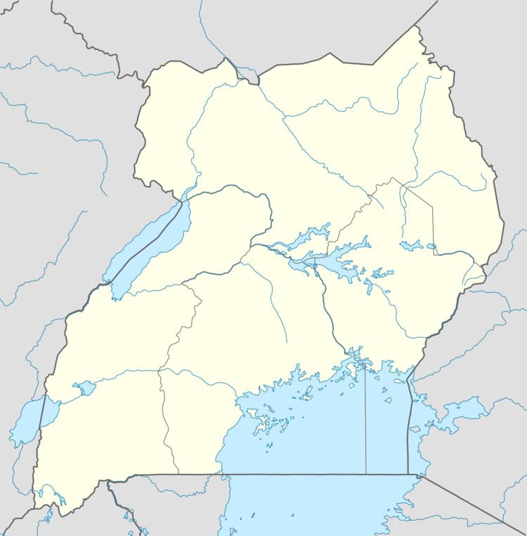
Map of Amolatar, Uganda
Amolatar 2015
Location
Amolatar is located approximately 87 kilometres (54 mi), by road, south of Lira, the largest city in the sub-region. This location lies 185 kilometres (115 mi), by road, northeast of Kampala, the capital of Uganda and the largest city in that country. The coordinates of the town are:01 38 06N, 32 49 30E (Latitude:1.6350; Longitude:32.8250).
Population
In 2002, the national population census estimated the town's population at about 11,420. In 2010, the Uganda Bureau of Statistics (UBOS), estimated the population of the town at 14,300. In 2011, UBOS estimated the mid-year population of Amolatar at 14,800.
Points of interest
The following points of interest lie within the town limits or close to the edges of the town: