PIN 721121 (Amlagora) Population 5,165 (2011) | Time zone IST (UTC+5:30) Telephone/STD code 03227 Area code 03227 | |
 | ||
Amlagora is a census town in Garhbeta I CD Block in Medinipur Sadar subdivision of Paschim Medinipur district in the state of West Bengal, India.
Contents
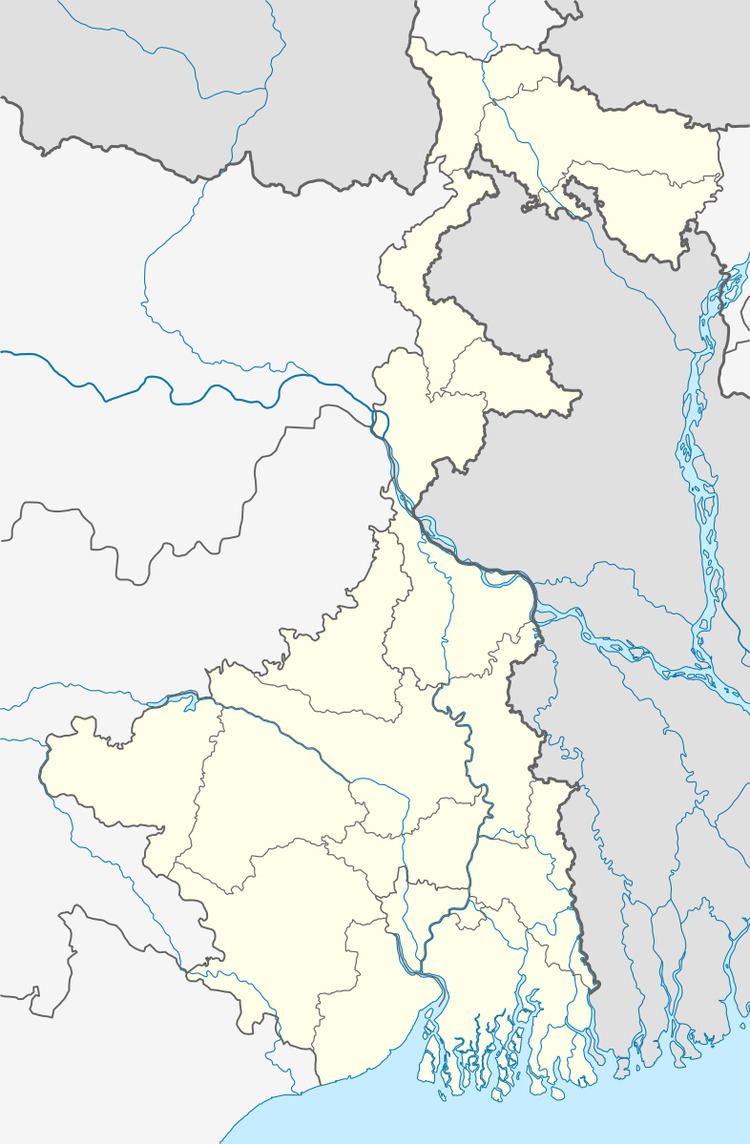
Map of Amlagora, West Bengal 721121
Demographics
As per 2011 Census of India Amlagora had a total population of 5,165 of which 2,665 (52%) were males and 2,500 (48%) were females. Population below 6 years was 621. The total number of literates in Amlagora was 3,463 (67.05% of the population over 6 years).
Transport
The Garbeta-Hoomgarh-Goaltore-Pirakata Road passes through Amlagora.
References
Amlagora Wikipedia(Text) CC BY-SA
