
District Barddhaman Website bardhaman.gov.in Population 5,445 (2011) | Time zone IST (UTC+5:30) Local time Wednesday 3:00 AM | |
 | ||
Demonym(s) Asansolians / Asansolites/ Asansolbashi Weather 17°C, Wind NW at 3 km/h, 55% Humidity | ||
Amkula is a neighborhood in Asansol. As per the 2011 census, it is a census town in Raniganj CD Block and is served by Asansol North police station in Asansol subdivision of Barddhaman district in the state of West Bengal, India.
Contents
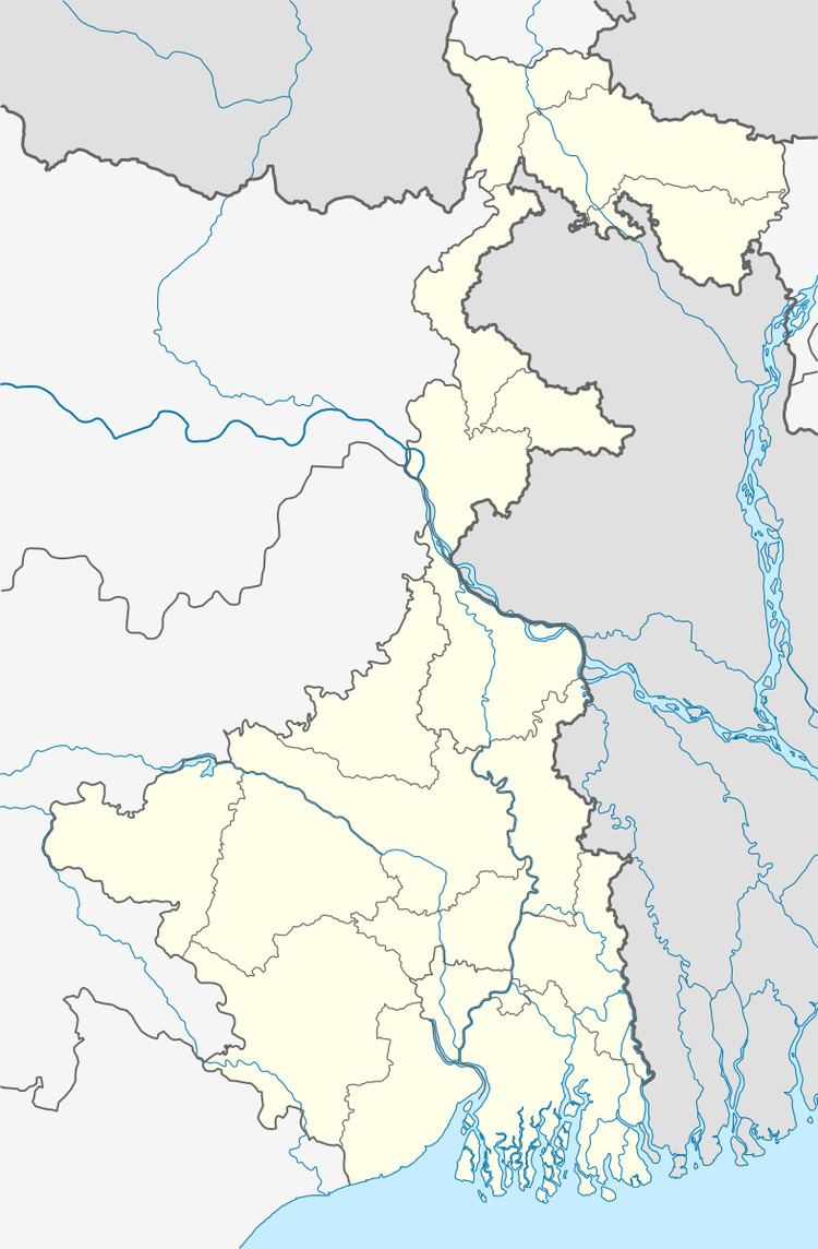
Map of Amkula, West Bengal 713339
Etymology
The word Amkula derives its origin from two Bengali words – am (mango) and kula (banana).
Geography
Amkula is located at 23°36′56″N 87°04′43″E.
This neighborhood in Asansol is situated on the bank of river Nunia, a tributary of Damodar River. A small plateau stream locally known as nallah joins river Nunia near Amkola. Basically the neighborhood lies in a low land valley, whose two sides are surrounded by water bodies, and on another side stand low altitude plateau. Crossing river Nonia one can enjoy the ber, a bushy plant's fruit. Nowadays all the adjoining trans-river jungles are getting deforested by brick-chimney contractors.
Asansol is composed of undulating latterite region. It lies between two mighty rivers – the Damodar and the Ajay. They flow almost parallel to each other in the region – the average distance between the two rivers is around 30 km. For ages the area was heavily forested and infested with plunderers and marauders. The discovery of coal led to industrialization of the area and most of the forests have been cleared.
Demographics
As per 2011 Census of India Amkula had a total population of 5,445 of which 2,928 (54%) were males and 2,517 (46%) were females. Population below 6 years was 793. The total number of literates in Amkula was 3,239 (69.63% of the population over 6 years).
As of 2001 India census, Amkula had a population of 5,936. Males constitute 59% of the population and females 41%. Amkula has an average literacy rate of 58%, lower than the national average of 59.5%; with 67% of the males and 33% of females literate. 11% of the population is under 6 years of age. Majority of the people are Hindi speaking. Though Bengalis are in significant number and have high living standard.
Economy
It is coal mining town under Eastern Coalfields Lrd., a subsidiary of Coal India Limited. Amkula and the nearby Nimcha collieries are under Satgram area of Eastern Coalfields Ltd. But the economy is plagiarized due to the evil of money lenders and Marwari Seths. They charge high rates of Interest on lending which consume major part of coal miners earning in the town.
Collieries in the Satgram Area of Eastern Coalfields are: Kalidaspur, J.K.Nagar, Satgram, Ratibati, Chapui Khas, Mithapur, Nimcha, Jemehari, Pure Searsole, Tirath, Kuardih, Ardragram OCP and Seetaldasji OCP.
Transport
There are several minibus routes from and via Amkula – (i) Amkula to Asansol via Jemari (J.K. Nagar Township), Nimcha, (ii) Amkula to Bahula more via Raniganj, Mangalpur, (iii) Amkula to Amritnagar via Jemari (J.K. Nagar Township), Nimcha, (iv) Amkula to Birkulti via Amrit Nagar, Ranisagar, Jamuria.
Education
Amkula has one primary school. Amkola has a unique variation in education level. For further studies students have to go to nearby city of Raniganj. Most of the population of town is literate. However many families of the town have attended marvelous landmark in education. Members of the said families are studying in University like A.M.U, Aligarh, B.H.U, Banaras, University of Allahabad, Jamia Millia Islamia, New delhi, Patna University, University of Calcutta etc. Even some of them are employed in America and other foreign countries on the basis of their Higher level of Education and skill.