Population 139 (2011 census) Amby Eurella Postal code 4462 | Postcode(s) 4462 Elevation 340 m | |
 | ||
Location 63.8 km (40 mi) W of Roma414 km (257 mi) WNW of Toowoomba541 km (336 mi) WNW of Brisbane | ||
Amby is a town and locality in the Maranoa Region, Queensland, Australia. In the 2011 census, Amby had a population of 139 people.
Contents
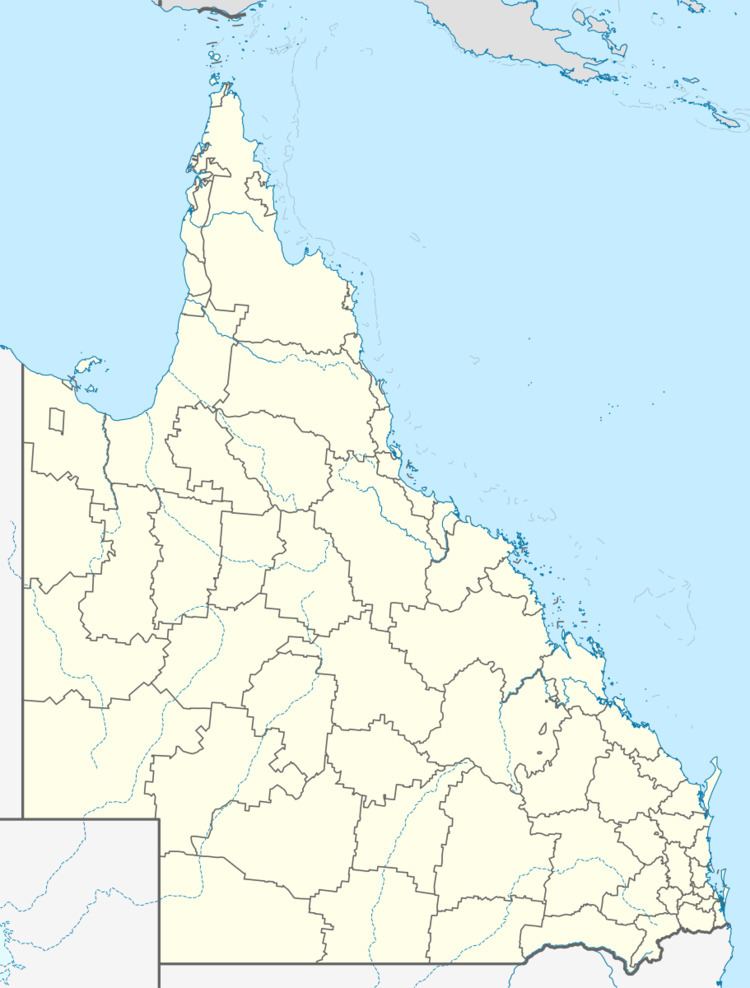
Map of Amby QLD 4462, Australia
Geography
The town is roughly in the centre of the locality. The Warrego Highway passes through the locality from east to west, passing through the main street of the town. The Western railway line also passes through the locality from east to west, serving the Amby railway station in the town. Amby Creek flows through the location from north to south, eventually a tributary of the Maranoa River. The Amby Downs homestead is located in the north-east of the locality.
History
Amby takes its name from the Amby Creek; Amby is possibly a word meaning "little girl" in Kogai dialect of Mandandanji language.
The Amby Downs pastoral station is believed to have been established before 1860.
A postal receiving office opened at Amby around 1883, and became a post office around 1900; it continues to operate out of the Amby Store.
Amby Provisional School opened on 26 February 1894 and became Amby State School in 1901. It closed on 19 September 1997.
