
Department Aisne Canton Oulchy-le-Château Area 4.5 km² | Intercommunality Oulchy le Château Local time Tuesday 7:39 AM | |
 | ||
Weather 4°C, Wind S at 27 km/h, 83% Humidity | ||
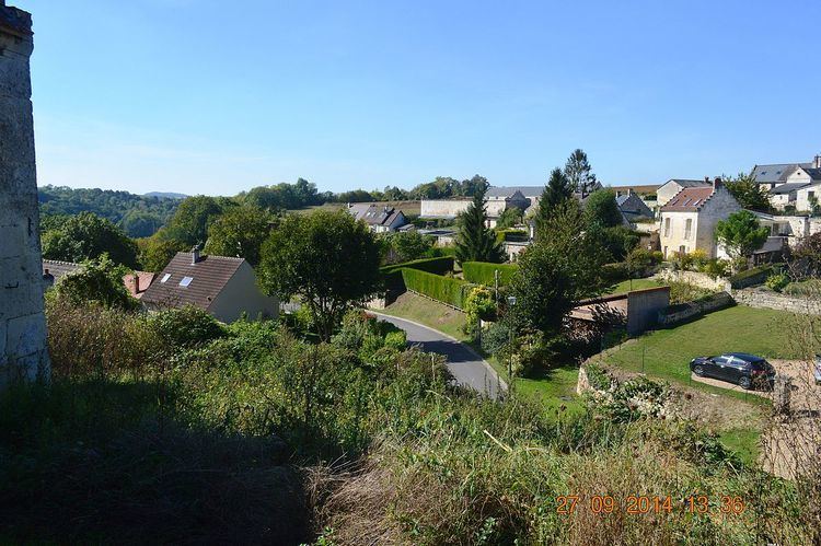
Ambrief is a French commune in the department of Aisne in the Hauts-de-France region of northern France.
Contents
- Map of 02200 Ambrief France
- Geography
- History
- Administration
- Demography
- Distribution of age groups
- Sites and monuments
- Notable people linked to the commune
- References
Map of 02200 Ambrief, France
The inhabitants of the commune are known as Ambriérois or Ambriéroises
Geography
Ambrief is located some 10 km south-east of Soissons and 30 km north-east of Villers-Cotterêts. It can be accessed on the D951 road from the north which passes through the village and continues south to Chacrise. The D6 road forms the north-eastern border of the commune. There are also several country roads linking the village to the west and a country road going to the east. There is an area of forest on the eastern side of the village however the rest of the commune is entirely farmland. There are no other villages or hamlets and no identifiable waterways in the commune.
History
Ambrief was a centre for the Knights Templar.
Administration
List of successive mayors of Ambrief
(Not all data is known)
Demography
In 2010, the commune had 63 inhabitants. The evolution of the number of inhabitants is known through the population censuses conducted in the town since 1793. From the 21st century, a census of municipalities with fewer than 10,000 inhabitants is held every five years, unlike larger towns that have a sample survey every year.
Sources : Ldh/EHESS/Cassini until 1962, INSEE database from 1968 (population without double counting and municipal population from 2006)
Distribution of age groups
Percentage distribution of age groups in Ambrief and Aisne department in 2007
Sources: