
Time zone CST (UTC-6) Elevation 230 m Local time Tuesday 12:33 AM | Established November 6, 1849 ZIP codes 61021, 61310 Area 91.76 km² Population 3,108 (2010) | |
 | ||
Weather 8°C, Wind SE at 23 km/h, 84% Humidity | ||
Amboy Township is one of twenty-two townships in Lee County, Illinois, USA. As of the 2010 census, its population was 3,108 and it contained 1,360 housing units.
Contents
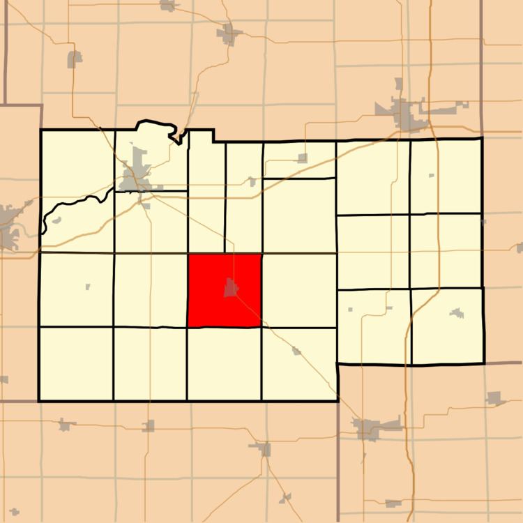
- Map of Amboy Township IL USA
- Geography
- Cities towns villages
- Unincorporated towns
- Extinct towns
- Cemeteries
- Airports and landing strips
- School districts
- Political districts
- References
Map of Amboy Township, IL, USA
Geography
According to the 2010 census, the township has a total area of 35.43 square miles (91.8 km2), of which 35.25 square miles (91.3 km2) (or 99.49%) is land and 0.17 square miles (0.44 km2) (or 0.48%) is water.
Cities, towns, villages
Unincorporated towns
(This list is based on USGS data and may include former settlements.)
Extinct towns
(These towns are listed as "historical" by the USGS.)
Cemeteries
The township contains these four cemeteries: Binghampton, Mormon, Prairie Repose and Saint Patrick's.
Airports and landing strips
School districts
Political districts
References
Amboy Township, Lee County, Illinois Wikipedia(Text) CC BY-SA