Country Canada Census division 13 Time zone MST (UTC-7) Province Alberta | Region Northern Alberta Local time Monday 9:54 PM | |
 | ||
Website www.athabascacounty.com Weather -17°C, Wind W at 2 km/h, 96% Humidity | ||
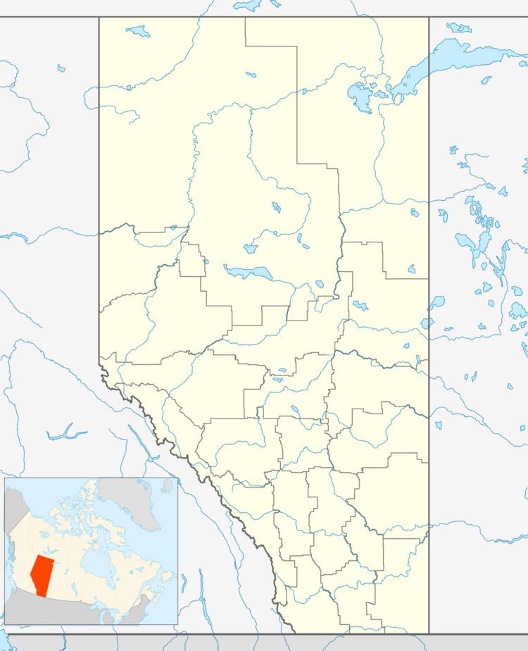
Amber Valley is an unincorporated community in Alberta, Canada, about 160 kilometres (99 mi) north of the capital Edmonton. Its elevation is 608 m (1,995 ft). Originally named Pine Creek, Amber Valley was among several Alberta communities settled by early black immigrants to the province. Location of Obadiah Place heritage site.
Contents
- Map of Amber Valley AB Canada
- History
- Original Settlers
- People from Amber Valley
- Popular Interest
- References
Map of Amber Valley, AB, Canada
History
In 1909, a group of 160 Black Canadian homesteaders established the community as a block settlement. The homesteaders, from Oklahoma and Texas, arrived within four years of Alberta becoming a province in 1905.
The settlers were led by Parson H. Sneed, a clergyman and mason, into an area by the Athabasca River. For the first few years it was difficult for them. They had to cut out an area for planting crops and building houses. The climate was not what they were used to since areas like Oklahoma had milder winters. The settlers were tough as was their surrounding and three quarters of them stayed.
They built a school house in 1913 and a nondenominational church in 1914. They had a baseball team that was widely known in the north. Amber Valley was the largest community of black people in Alberta until the 1930s.
Beginning in the 1950s, many descendants of the original settlers began moving to near cities such as Edmonton to escape rural life. In Edmonton, many Amber Valley descendants founded the Shiloh Baptist Church, one of few black churches in Western Canada.
Original Settlers
Willis Reese Bowen organized the original group of five families who moved from Oklahoma to Vancouver and then on to Amber Valley.
