
Country Canada Census division No. 13 Incorporated 1959 (County) Population 7,869 (2016) | Established 1947 Time zone MST (UTC-7) Province Alberta | |
 | ||
Weather -11°C, Wind NE at 3 km/h, 70% Humidity | ||
Alberta aerial video 4 quarters in athabasca county
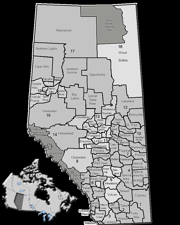
Athabasca County is a municipal district in north central Alberta, Canada. It is located northeast of Edmonton and is in Census Division No. 13. Prior to an official renaming on December 1, 2009, Athabasca County was officially known as the County of Athabasca No. 12.
Contents
- Alberta aerial video 4 quarters in athabasca county
- 635005a athabasca county rural alberta real estate videographer photographer
- Demographics
- References
635005a athabasca county rural alberta real estate videographer photographer
Demographics
In the 2016 Census of Population conducted by Statistics Canada, Athabasca County recorded a population of 7,869 living in 3,067 of its 4,093 total private dwellings, a 7000270000000000000♠2.7% change from its 2011 population of 7,662. With a land area of 6,124.43 km2 (2,364.66 sq mi), it had a population density of 1.3/km2 (3.3/sq mi) in 2016.
In the 2011 Census, Athabasca County had a population of 7,662 living in 2,965 of its 3,835 total dwellings, a 1.2% change from its 2006 adjusted population of 7,572. With a land area of 6,122.75 km2 (2,364.01 sq mi), it had a population density of 1.3/km2 (3.2/sq mi) in 2011.
In 2006, Athabasca County had a population of 7,587 living in 3,799 dwellings, a 0.9% increase from 2001. However, this population has since been revised by Statistics Canada to 7,592. Using the pre-revised Statistics Canada data, Athabasca County had a land area of 6,126.43 km2 (2,365.43 sq mi) and a population density of 1.2/km2 (3.1/sq mi) in 2006.