
Basin size 199 sq mi (520 km) Basin area 520 km² Country United States of America | Length 93 km Source elevation 354 m | |
 | ||
Main source 1 mile (1.6 km) South-West of Mount Gilead1,160 ft (350 m) Similar Alum Creek State Park, Hoover Dam, Hoover Reservoir Park, Griggs Reservoir, Three Creeks Metro Park | ||
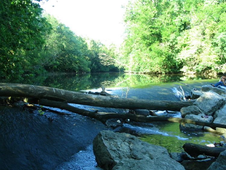
Alum Creek is 58-mile (93 km) long creek that runs north to south in central Ohio. The creek originates in Morrow County and then flows through Delaware County and finally into Franklin County, where it ends at Big Walnut Creek, which drains into the Scioto River. In 1974, the Army Corps of Engineers completed the Alum Creek Reservoir near the middle portion of the creek length. This reservoir "has a surface area of 3,387 acres of water and was created to ensure a water supply for the city of Columbus, provide flood control for the area south of the reservoir, and yield recreational opportunities."
Contents
- Map of Alum Creek Ohio USA
- HistoryEdit
- Underground RailroadEdit
- Also known asEdit
- Alum Creek LakeEdit
- Alum Creek Lake DamEdit
- Drinking WaterEdit
- References
Map of Alum Creek, Ohio, USA
HistoryEdit
The Alum Creek valley was inhabited by the Adena over 2,000 years ago. This mound builder culture constructed seven mounds along Alum Creek. The Lenape (Delaware) Indian tribe later established many settlements near the creek.
One of the first European settlers was Colonel Moses Byxbe, who constructed his home on Alum Creek in 1805. Colonel Byxbe owned or co-owned 38,000 acres (150 km²) along the creek.
As a defensive measure during the War of 1812, local residents built four blockhouses in the area, including one on Alum Creek. The blockhouse, Fort Cheshire, was a 2-story log fortress, constructed so as to provide a place from which to shoot, drop boiling water, and defend against the threat of fire. The blockhouse was subsequently used as a schoolhouse and remained intact until the Civil War. The fort is commemorated by a bronze plaque where the blockhouse once stood.
Underground RailroadEdit
The history of Alum Creek is also notable for its connection to the Underground Railroad, by which many slaves found their freedom. The Underground Railroad's Sycamore Trail ran along Alum Creek. Africa Road, near Alum Creek, is so named because of the nearby settlement of thirty freed slaves from North Carolina.
Also known asEdit
Alum Creek LakeEdit
Near 40°10′36″N 082°57′24″W Elevation: 833 feet (254 m)
Alum Creek Lake DamEdit
Near 40°10′36″N 082°57′24″W Elevation: 833 feet (254 m)
Drinking WaterEdit
Alum Creek is a source of drinking water for the city of Westerville, Ohio.