
Classification Family B (mid-level) Minimum altitude (feet) 6,500 | Abbreviation As Maximum altitude (feet) 20,000 | |
 | ||
Genus Alto- (Middle)-stratus (layered) Variety alto and altostratus clouds alto cirrus Precipitation cloud? Rain possible in thickened clouds. Classification is changed to nimbostratus if rain becomes persistent. Appearance Sheet or layer, can usually see the sun through it Indicates precipitation Rain possible in thickened clouds. Classification is changed to Nimbostratus if rain becomes persistent. | ||
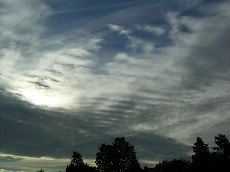
Altostratus clouds timelapse at the coast
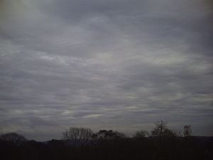
Altostratus is a middle altitude cloud genus belonging to the stratiform physical category characterized by a generally uniform gray to bluish-green and sheet or layer. It is lighter in color than nimbostratus and darker than high cirrostratus. The sun can be seen through thin altostratus, but thicker layers can be quite opaque.
Contents
- Altostratus clouds timelapse at the coast
- What are altostratus clouds
- Description
- Occurrence
- Subtypes
- References
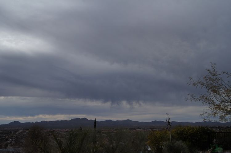
Altostratus is formed by the lifting of a large mostly stable air mass that causes invisible water vapor to condense into cloud. It can produce light precipitation, often in the form of virga. If the precipitation increases in persistence and intensity, the altostratus cloud may thicken into nimbostratus.

Altostratus most often takes the form of a featureless sheet of cloud but can be wavy (undulatus) as a result of wind shear through the cloud. It can also be fragmented (fibratus) with clear sky visible, which often signals the approach of a weakened or upper level warm front.
What are altostratus clouds
Description
Altostratus may be composed of ice crystals. In some ice crystal altostratus, very thin, rapidly disappearing horizontal sheets of water droplets appear at random. The sizes of the ice crystals in the cloud tended to increase as altitude decreased. However, close to the bottom of the cloud, the particles decreased in size again. During the sampling of one cloud, the scientists noted a halo while flying near the top of the cloud, which indicated that the ice crystals were hexagonal near the top. However, farther down, the ice crystals became more conglomerated.
Occurrence
Altostratus tends to form ahead of a warm or occluded front, the altostratus gradually thickening into rain bearing nimbostratus. However it can also occur together with cumulus congestus or cumulonimbus at a cold front.
Subtypes
"Velum" This is considered a type of cumulonimbus cloud so it is not listed.