
Local time Sunday 5:03 PM | ||
 | ||
Weather 31°C, Wind E at 10 km/h, 50% Humidity | ||
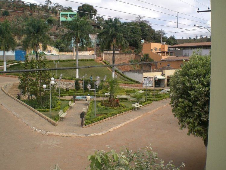
Projeto alpercata bogot ronco da cu ca
Alpercata is a Brazilian municipality located in the northeast of the state of Minas Gerais. Its population as of 2007 was 7,007 people living in a total area of 167 km². The city belongs to the meso-region of Vale do Rio Doce and to the micro-region of Governador Valadares. It became a municipality in 1962.
Contents
- Projeto alpercata bogot ronco da cu ca
- Map of Alpercata State of Minas Gerais Brazil
- A alpercata terra do salom o
- Location
- Economic activities
- Health and education
- References
Map of Alpercata - State of Minas Gerais, Brazil
A alpercata terra do salom o
Location
The city center of Alpercata is located at an elevation of 192 meters on the important federal highway BR-116 just south of Governador Valadares. Neighboring municipalities are: Governador Valadares (W and N), Tumiritinga (NE), Capitão Andrade, Engenheiro Caldas, and Fernandes Tourinho (S), and Sobrália (SW).
Distances
Economic activities
Services and small industries are the main economic activities. The GDP in 2005 was approximately R$31 million, with 17 million reais from services, 7 million reais from industry, and 3 million reais from agriculture. There were 245 rural producers on 9,000 hectares of land (2006). Approximately 1,000 persons were occupied in agriculture. The main crops are coffee, sugarcane, rice, beans, and corn. There were 18,000 head of cattle, of which 3,600 were milk cows (2006). Only 13 of the rural properties had tractors in 2006.
Of the working force there were 147 workers in 14 small industries, 169 workers in 86 retail units, and 266 workers in public administration (2006).
There were no banks (2007) In the vehicle fleet there were 314 automobiles, 48 trucks, 33 pickup trucks, 4 buses, and 169 motorcycles (2007).
Health and education
In the health sector there were 5 health establishments, which included 4 public health clinics, and 1 private clinic (2005). Educational needs of 1,600 students were met by 8 primary schools, 1 middle school, and 4 pre-primary schools.
In 2000 the per capita monthly income of R$148.00 was below the state average of R$276.00 and below the national average of R$297.00. Poços de Caldas had the highest per capita monthly income in 2000 with R$435.00. The lowest was Setubinha with R$73.00.
The highest ranking municipality in Minas Gerais in 2000 was Poços de Caldas with 0.841, while the lowest was Setubinha with 0.568. Nationally the highest was São Caetano do Sul in São Paulo with 0.919, while the lowest was Setubinha. In more recent statistics (considering 5,507 municipalities) Manari in the state of Pernambuco has the lowest rating in the country—0,467—putting it in last place.