Intercommunality Val-Couserans Area 24.26 km² | Region Occitanie Canton Saint-Girons Population (2010) 130 Local time Sunday 8:33 PM | |
 | ||
Weather 7°C, Wind SW at 0 km/h, 79% Humidity | ||
Alos is a French commune in the Ariège department in the Occitanie region of southwestern France.
Contents
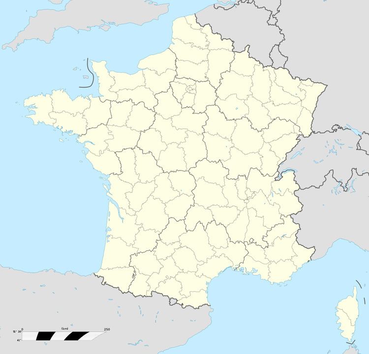
Map of 09200 Alos, France
The inhabitants of the commune are known as Alosiens or Alosiennes
Geography
Alos is located some 100 km south by south-west of Toulouse, about 40 km west of Foix, and about 10 km north of the Spanish border. It is a high mountain commune with only three tortuous access roads: the D37 branching west from the D3 south of Lacourt enters the commune in the northeast and continues to the village before continuing south-east to join the D17 road north of Seix. There is also the D137 road coming south-west from Moulis which enters the commune in the north and joins the D37 near the village. Apart from Alos there are the hamlets of Artiguenard and La Riviere in the commune. There are numerous small country roads throughout much of the commune which consists mainly of mountain slopes and forests.
The Riviere d'Alois flows out of the north-east to join the Salat river to the east. Numerous streams feed into the Alois including the Raven de Guerbrens which forms part of the eastern border and the Ruisseau de Argeniere which flows from the south of the commune. Many other streams flow into the Alois from all corners of the commune.
Administration
List of Successive Mayors of Alos
(Not all data is known)
Demography
In 2010, the commune had 130 inhabitants. The evolution of the number of inhabitants is known through the population censuses conducted in the town since 1793. From the 21st century, a census of municipalities with fewer than 10,000 inhabitants is held every five years, unlike larger towns that have a sample survey every year.
Sources : Ldh/EHESS/Cassini until 1962, INSEE database from 1968 (population without double counting and municipal population from 2006)
