
Comarca Campo Arañuelo Time zone CET (UTC+1) Elevation 277 m | Demonym(s) almaraceño/a Postal code 10350 Area 34 km² Local time Sunday 5:20 PM | |
 | ||
Weather 13°C, Wind W at 11 km/h, 74% Humidity | ||
Iii bass caceres almaraz
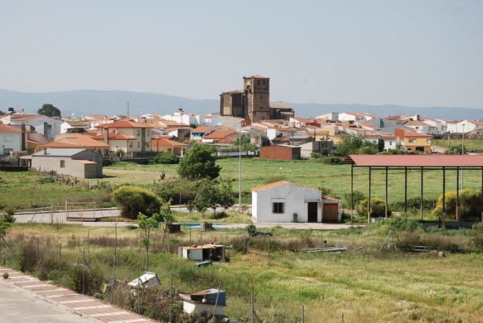
Almaraz is a town in Cáceres Province, Extremadura, Spain. As of 2005, its population is 1,295. It is on the European route E90. It is the home of the Almaraz Nuclear Power Plant. A solar power macroplant is being built in the town.
Contents
Map of 10350 Almaraz, C%C3%A1ceres, Spain
The bridge over the Tagus at Almaraz was built by Emperor Carlos I in the 16th Century and was known by the local people as the Albalat Bridge; however, it was destroyed by the Spanish on March 14, 1809 to prevent its use by the French during the Peninsular War. In the Battle of Almaraz on 18/19 May 1812, the Anglo-Portuguese Army under Lord Hill destroyed a French pontoon bridge across the Tagus which was protected by two French garrisons at either end.
Later, the old bridge at Almaraz has been repaired and can be driven across.