
Intercommunality Haute-Saintonge Area 10.87 km² Population 150 (1999) | Time zone CET (UTC+1) Local time Sunday 1:16 AM | |
 | ||
Weather 4°C, Wind SE at 10 km/h, 69% Humidity | ||
Beton imprime allas bocage france www betonimprimeart fr youtube
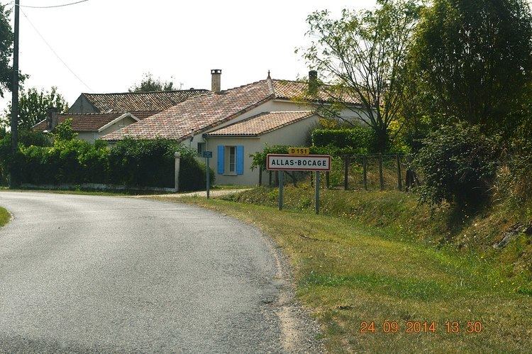
Allas-Bocage is a French commune in the Charente-Maritime department in the Nouvelle-Aquitaine region of southwestern France.
Contents
- Beton imprime allas bocage france www betonimprimeart fr youtube
- Map of 17150 Allas Bocage France
- How to pronounce allas bocage pronouncenames com
- Geography
- Administration
- Demography
- Distribution of Age Groups
- Sites and Monuments
- References
Map of 17150 Allas-Bocage, France
The inhabitants of the commune are known as Allasiens or Allasiennes
How to pronounce allas bocage pronouncenames com
Geography
Allas-Bocage is located some 5 km north-east of Mirambeau and 40 km south by south-west of Cognac. It can be accessed by the minor D151 road running off the D730 in the south-west and continuing north-east through the commune to the village then north to Jonzac. The D153 road also goes from Nieul-le-Virouil in the north-west through the commune north of the village and continues to join the D19 highway in the east. The D50 road from Nieul-le-Virouil also passes through the western part of the commune going south to Soubran. There are three hamlets in the commune apart from the village: Le Pain, Le Maine-Neuf, and Berceleu. The commune is mostly farmland with forests along the eastern border.
The Tarnac river forms the western border of the commune and an unnamed stream forms much of the southern border of the commune flowing west to join the Ruisseau de Fanioux to form the Tarnac river. The Etang d'Allas is an elongated lake which forms the north-eastern border of the commune and the stream that flows out of the lake forms the northern border before joining the Maine in the north.
Administration
List of Successive Mayors
(Not all data is known)
Demography
After the 2007 census, Allas-Bocage had 186 inhabitants (24% greater than in 1999). By population the commune was at 27,662nd place nationally against 29,060th place in 1999 and in 2007 was 412nd out of 472 communes in the department.
In 2009, the commune had 193 inhabitants. The evolution of the number of inhabitants is known through the population censuses conducted in the commune since 1793. From the 21st century, a census of communes with fewer than 10,000 inhabitants is held every five years, unlike larger towns that have a sample survey every year.
Sources : Ldh/EHESS/Cassini until 1962, INSEE database from 1968 (population without double counting and municipal population from 2006)
Distribution of Age Groups
The population of the commune is relatively old. The ratio of persons above the age of 60 years (23.4%) was higher than the national rate (21.6%) while being less than the departmental average (28.1%). As with the national and departmental ratios, the female population of the commune is higher than the male population. The rate (54.4%) is significantly higher than the national rate (51.6%). The distribution of the population of the commune by age groups was, in 2009, as follows:
Percentage Distribution of Age Groups in Allas-Bocage and Charente-Maritime Department in 2009
Sources:
Sites and Monuments
The Church of Saint Martin (12th century) is a Romanesque building that is registered as an historical monument. It contains four items listed as historical monuments since 5 December 1908: