
Population 6,742 (2011 census) Postal code 2100 | Postcode(s) 2100 | |
 | ||
LGA(s) | ||
Allambie heights let s hear from the locals call 0424006855
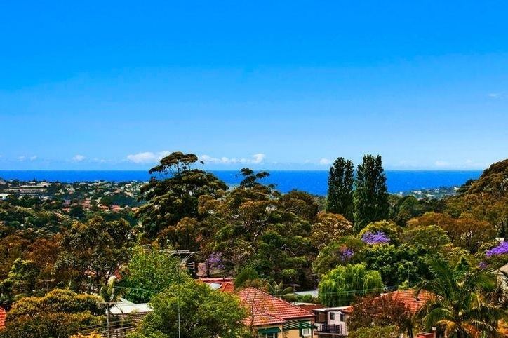
Allambie Heights is a suburb of northern Sydney, in the state of New South Wales, Australia 17 kilometres north-east of the Sydney central business district in the local government area of Northern Beaches Council. It is part of the Northern Beaches region.
Contents
- Allambie heights let s hear from the locals call 0424006855
- Map of Allambie Heights NSW 2100 Australia
- History
- Demographics
- Commercial area
- Education
- Parks
- References
Map of Allambie Heights NSW 2100, Australia
History
Allambie is an Aboriginal word that means "peaceful place". An estate by that name was subdivided and auctioned in 1918. A "goat track" that roughly follows the existing Allambie Road today, was most likely used by the Aboriginal people to access the ocean beaches at nearby Manly. The suburb was developed in the late 1940s and early 1950s. Allambie Heights Post Office opened on 1 February 1961.
Many of the streets in Allambie Heights are named after notable battles (particularly where Australian Troops served), and prominent allied political leaders of World War II. These include Moresby Place, Owen Stanley Avenue, Wewak Place, Kirra Road, Libya Crescent, Derna Crescent, Tobruk Avenue, Anzio Avenue, Roosevelt Avenue and Churchill Crescent. Darmour Ave is probably named after the Battle of Damour and simply a misspelling.
Demographics
According to the 2011 census of Population, there were 6,742 residents in Allambie Heights. 71.4% of residents were born in Australia. The most common other countries of birth were England 7.3%, New Zealand 1.7% and Italy 1.3%. 83.8% of residents spoke only English at home. Other languages spoken at home included Italian 1.8%, German 1.3% and Mandarin 1.1%. The most common responses for religious affiliation were Catholic 29.5%), No Religion 23.2% and Anglican 17.6%.
Commercial area
The main business area in Allambie Heights consists of an IGA supermarket, newsagent, delicatessen, bakery, community centre and the local primary school. It is also home to the Warringah Aquatic Centre. The suburb is also home to a range of retirement villages including the Italian Scalabrini Village and the German Lutheran Homes. There are also a number of care centres for the disabled including The Sunnyfield Association, The Cerebral Palsy Alliance and Allambie Special School.
Education
Allambie Heights is home to three schools:
Parks
Allambie Heights is bordered to the south by the serene and relatively untouched Manly Dam Reserve (also known as War Memorial Reserve) which is the habitat for a number of species of plants and animals. The area is also home to a number of Australian Aboriginal rock carvings. The Garigal National Park sits on the western border. To the north Allambie Heights is bordered by Allenby Park, which includes small patches of rainforest and is bisected by small creeks and waterfalls. Bushfires have destroyed much of the bushland area in recent years, however this is part of the Australian ecology cycle and the forests regenerate fairly quickly.