
Population Uninhabited | ||
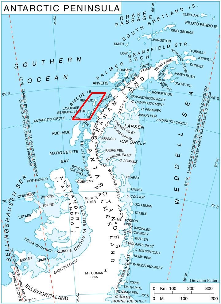 | ||
Alino Island (Bulgarian: остров Алино, ‘Ostrov Alino’ \'os-trov 'a-li-no) is the predominantly ice-covered island in Biscoe Islands, Antarctica lying 1 kilometre (0.62 mi) south-southeast of Tula Point, Renaud Island. The feature is 1.2 kilometres (0.75 mi) long in southwest-northeast direction and 580 metres (0.36 mi) wide.
Contents
Map of Alino Island, Antarctica
The island is named after the settlement of Alino in Western Bulgaria.
Location
Alino Island is located at 65°32′32″S 65°37′28″W. British mapping in 1971.
Maps
References
Alino Island Wikipedia(Text) CC BY-SA