
PIN 144102 Population 35,000 (2013) | Time zone IST (UTC+5:30) Elevation 233 m Local time Thursday 11:08 AM | |
 | ||
Weather 21°C, Wind NW at 6 km/h, 57% Humidity | ||
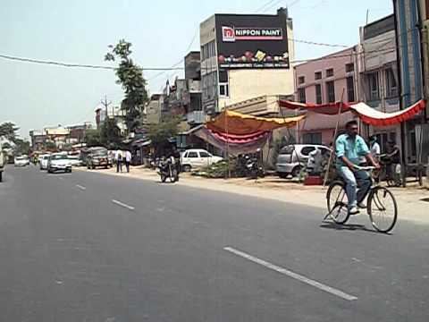
Adampur jalandhar punjab india may 2011
Adampur (Punjabi: ਆਦਮਪੁਰ, Hindi: आदमपुर) is a city and a municipal council in Jalandhar district in the Indian state of Punjab.
Contents
- Adampur jalandhar punjab india may 2011
- Map of Adampur Punjab
- First time snowfall in adampur punjab
- Geography
- Demographics
- References
Map of Adampur, Punjab
First time snowfall in adampur punjab
Geography
Adampur Doaba is located at 31.43°N 75.72°E / 31.43; 75.72. It has an average elevation of 233 metres (764 feet). The nearest hill station is Dharamshala which is the headquarters of the Dalai Lama. Another hill-station around Adampur is McLeodganj. The Main Bazaar is the main market and one of the best areas to live in and around the town.
It is situated in the center of Punjab and its two main cities, Jalandhar and Hoshiarpur.
The clock tower of Adampur and Punjab Khadi Mandal are some of the oldest buildings of this town.Gulmohur academy is one of best english teaching institute in towm.
The Adampur Air Force Station at Adampur Doaba is the second largest Air Force base of India and now its is proposed site for domestic airport. One of the oldest serving families of Adampur is the Virdi family of the Ramgarhia clan. There is a Khadi Bhandar inaugurated by Mahatma Gandhi.
Demographics
As of the 2001 India census, Adampur had a population of 16,620. Males constitute 52% of the population and females 48%. Adampur has an average literacy rate of 76%, higher than the national average of 59.5%. 12% of the population is under 6 years of age. Pawan Kumar Tinnu is the MLA from Adampur. The scheduled caste population is 47.30%