Time zone IST (UTC+5:30) Population 23,358 (2001) | Talukas Achanta PIN 534123 Local time Wednesday 1:14 PM | |
 | ||
Weather 33°C, Wind SE at 14 km/h, 39% Humidity | ||
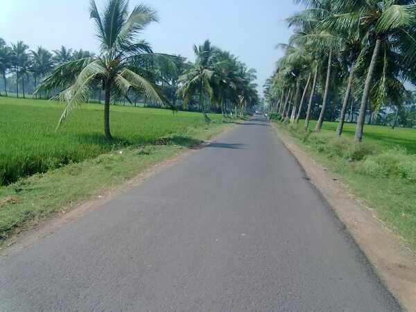
Achanta is a village in West Godavari district of the Indian state of Andhra Pradesh.
Contents
Map of Achanta, Andhra Pradesh
Geography
Achanta is a village located in Godavari river basin (Andhra Pradesh, India) Map near towns like Palakollu,Tanuku, Bhimavaram.Near this village there are so many godavari towns like Narsapur,Siddhantam and Koderu. The Umaramalingeswaraswamy temple in Achanta is famous. People usually called it peddagudi. Mahasivarathri festival is celebrated for 5 days every year. Food is distributed on all these days. Achanta is a mandal headquarter and also an Assembly seat. The nearest Godavari river bay is Koderu with in 6 Km and Siddantham with in 8 km.
References
Achanta Wikipedia(Text) CC BY-SA
