Area 9.44 km² | Region Île-de-France Population (2014) 20,923 Local time Wednesday 10:29 AM | |
 | ||
Weather 8°C, Wind SW at 18 km/h, 80% Humidity | ||
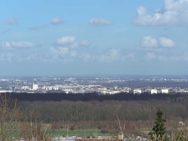
Achères is a commune in the Yvelines department in north-central France. It is located 23.7 km (14.7 mi) from the center of Paris.
Contents
Map of Ach%C3%A8res, France
The commune of Achères lies on the south bank of the Seine in a loop of the river, on the edge of the Forest of Saint-Germain-en-Laye. It borders Saint-Germain-en-Laye and Poissy on the south, Andrésy and Carrières-sous-Poissy on the west, Conflans-Sainte-Honorine and Herblay on the north, and Maisons-Laffitte and La Frette-sur-Seine on the east.
Population
Inhabitants of Achères are called Achérois.
Transportation
Achères is served by Achères – Ville station on Paris RER line and on the Transilien Paris – Saint-Lazare suburban rail line, called line L.
By road, it is accessible from the N184, the Route de Poissy, and the D30.
References
Achères, Yvelines Wikipedia(Text) CC BY-SA
