
Time zone UTC -3 Dial plan +598 46 (+6 digits) Local time Wednesday 3:14 AM | Postal code 37001 Elevation 270 m | |
 | ||
Weather 22°C, Wind NW at 6 km/h, 92% Humidity | ||
Aceguá is the Uruguayan part of a town in the Cerro Largo Department of eastern Uruguay.
Contents
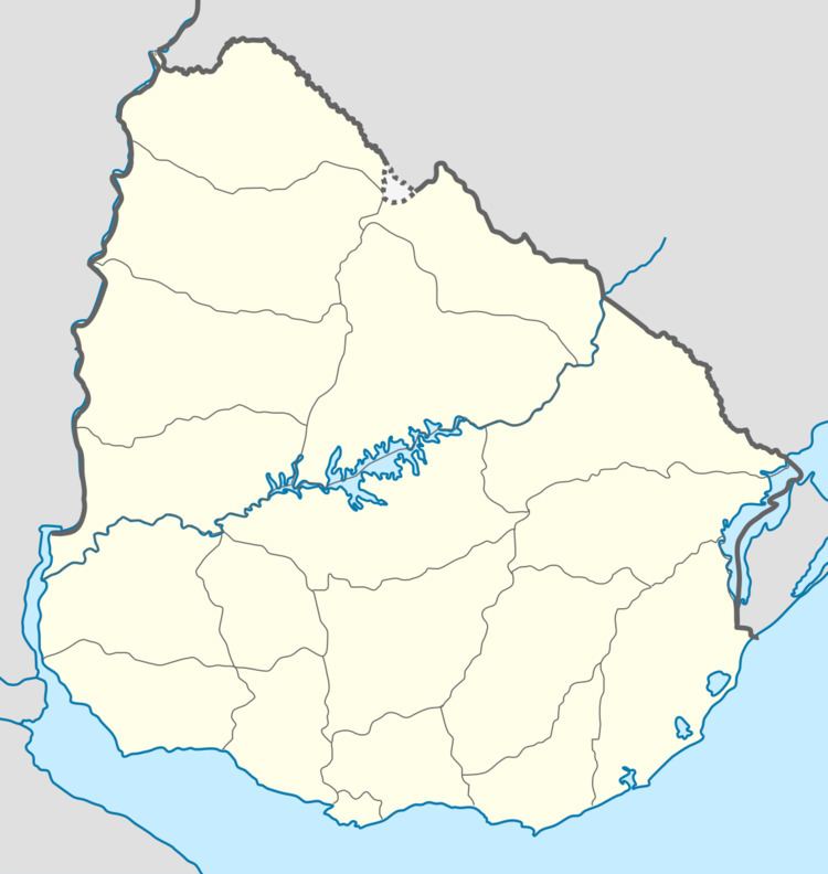
Map of Acegu%C3%A1, Cerro Largo Department, Uruguay
Location
It is located on Route 8, on the border with Brazil. The border between Uruguay and Brazil passes though the town and the two parts are separated by an international street.
History
Its status was raised from populated centre to "Pueblo" (village) on 23 December 1941 by decree Ley 10.101 and then to "Villa" (town) on 14 April 1986 by decree Ley 15.810.
Population
In 2011 Aceguá had a population of 1,511.
Source: Instituto Nacional de Estadística de Uruguay
Places of worship
References
Aceguá, Uruguay Wikipedia(Text) CC BY-SA