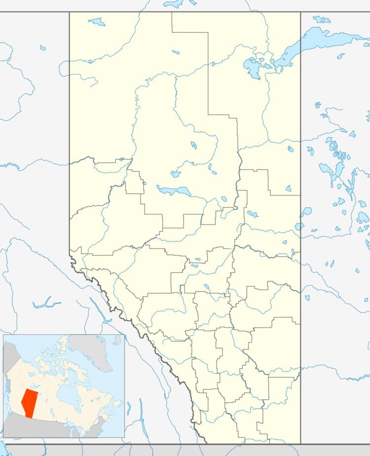
Country Canada Municipal district M.D. of Acadia No. 34 Area 48 ha Population 140 (2006) | Time zone MST (UTC-7) Elevation 716 m Local time Tuesday 6:00 PM | |
 | ||
Weather -6°C, Wind W at 6 km/h, 50% Humidity | ||
Acadia Valley is a hamlet in southeast Alberta within the Municipal District (M.D.) of Acadia No. 34. The M.D. of Acadia No. 34's municipal office is located in Acadia Valley.
Contents
Map of Acadia Valley, AB, Canada
Acadia Valley is located along the Buffalo Highway between Oyen and Medicine Hat and has an elevation of 2,381 ft (726 m)
The hamlet is located in census division No. 4 and in the federal riding of Crowfoot.
Demographics
As a designated place in the 2016 Census of Population conducted by Statistics Canada, Acadia Valley recorded a population of 149 living in 71 of its 82 total private dwellings, a change of 7000880000000000000♠8.8% from its 2011 population of 137. With a land area of 0.47 km2 (0.18 sq mi), it had a population density of 317.0/km2 (821.1/sq mi) in 2016.
As a designated place in the 2011 Census, Acadia Valley had a population of 137 living in 59 of its 63 total dwellings, a -2.1% change from its 2006 population of 140. With a land area of 0.48 km2 (0.19 sq mi), it had a population density of 285/km2 (739/sq mi) in 2011.
