
Coat of arms Flag Rural okrugs 5 Founded 25 May 1930 | Settlements 1 Area 69,435 km² | |
 | ||
Administrative center | ||
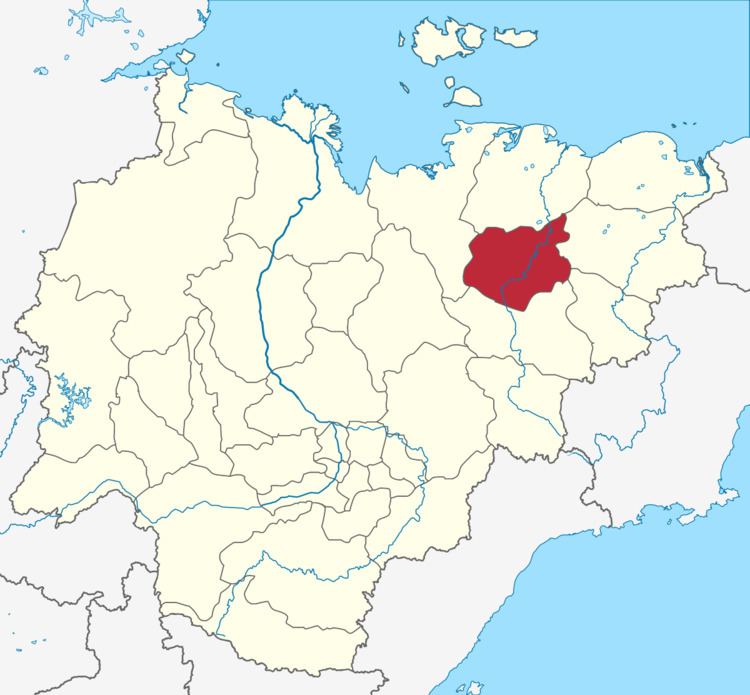
Abyysky District (Russian: Абы́йский улу́с; Yakut: Абый улууһа, Abıy uluuha, [abɯj uluːha]) is an administrative and municipal district (raion, or ulus), one of the thirty-four in the Sakha Republic, Russia. It is located in the north of the republic around the Indigirka River and borders with Allaikhovsky District in the north, Srednekolymsky District in the east, Verkhnekolymsky District in the southeast, Momsky District in the south, and with Ust-Yansky District in the west. The area of the district is 69,400 square kilometers (26,800 sq mi). Its administrative center is the urban locality (an urban-type settlement) of Belaya Gora. As of the 2010 Census, the total population of the district was 4,425, with the population of Belaya Gora accounting for 50.7% of that number.
Contents
- Map of Abyysky District Sakha Republic Russia
- Geography
- Climate
- History
- Administrative and municipal status
- Inhabited localities
- Demographics
- References
Map of Abyysky District, Sakha Republic, Russia
Geography
The Indigirka River is the main waterway through the district, providing a link to the Kolyma Bay on the East Siberian Sea to the north. There are many lakes in the district, with Lake Ozhogino being the largest, as well as being the fifth largest in the Sakha Republic.
Climate
Average January temperature is −40.7 °C (−41.3 °F) and average July temperature is +14 °C (57 °F). Average annual precipitation is 218 millimeters (8.6 in).
History
The district was established on May 25, 1930. Initially, its administrative center was in the selo of Abyy, but on January 10, 1941 it was moved to Druzhina. On October 4, 1974, it was moved again, this time to Belaya Gora.
Administrative and municipal status
Within the framework of administrative divisions, Abyysky District is one of the thirty-four in the republic. It is divided into one settlement (an administrative division with the administrative center in the urban-type settlement (inhabited locality) of Belaya Gora) and five rural okrugs (naslegs), all of which comprise six rural localities. As a municipal division, the district is incorporated as Abyysky Municipal District. The Settlement of Belaya Gora is incorporated into an urban settlement, and the five rural okrugs are incorporated into five rural settlements within the municipal district. The urban-type settlement of Belaya Gora serves as the administrative center of both the administrative and municipal district.
Inhabited localities
*Administrative centers are shown in bold
Demographics
As of the 2002 Census, the ethnic composition was as follows: