
 | ||
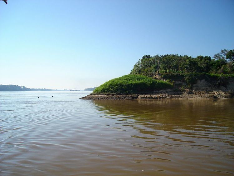
Abuná is one of the five provinces of the Bolivian department of Pando and is situated in the department's northern central parts. It has its name from Río Abuná, the border river to neighbouring Brazil.
Contents
Map of Abuna, Bolivia
Location
Aroma province is located between 9° 53' and 11° 06' South and between 66° 27' and 67° 42' West. It extends over 120–250 km from North to South, and 350 km from West to East.
The province is situated in the Amazon lowlands of Bolivia and borders Brazil in the North, Nicolás Suárez Province in the Northwest and West, Manuripi Province in the South, and Federico Román Province in the East.
Population
The population of Abuná Province has increased by 40% over the recent two decades:
The literacy rate of the province's population is 47.4%. (1992)
87.6% of the population have no access to electricity, 83.6% have no sanitary facilities. (1992)83.5% of the population are Catholics, 15.4% are Protestants. (1992)Division
The province comprises two municipios: