
Time zone GMT Local time Tuesday 3:26 PM | Elevation 55 m | |
 | ||
Weather 33°C, Wind S at 21 km/h, 61% Humidity | ||
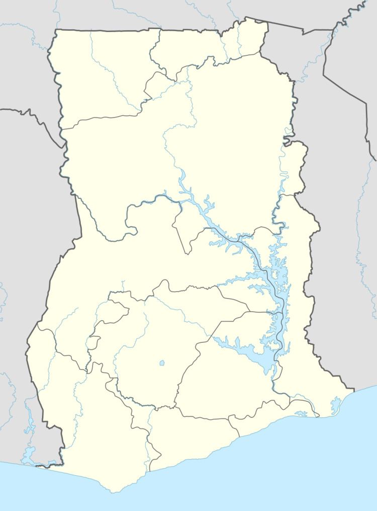
Abor (Abↄ) is a Town in the Keta Municipal District of the Volta Region in southeast Ghana. Abor lies east of the Volta River and just north of the Keta Lagoon.
Contents
Map of Abor, Ghana
History
From the European perspective Abor was a part of the Dutch "area of influence" of Keta beginning about 1784, until taken over by the British and then folded into the British Gold Coast colony, which subsequently became Ghana.
References
Abor, Ghana Wikipedia(Text) CC BY-SA