Area 12 km² | Region Normandy Local time Tuesday 3:58 PM | |
 | ||
Weather 8°C, Wind W at 29 km/h, 62% Humidity | ||
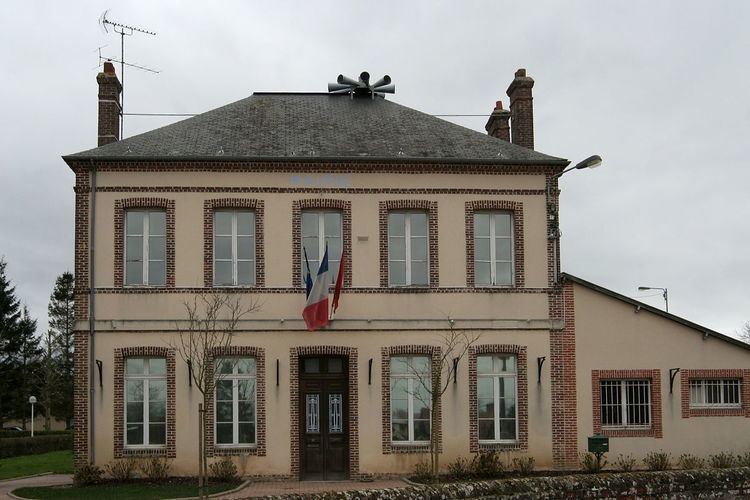
Ablon is a French commune in the Calvados department in the Normandy region in northwestern France.
Contents
- Map of 14600 Ablon France
- Geography
- Toponymy
- History
- Administration
- French presidential election 2012 at Ablon
- Demography
- Civil heritage
- Religious heritage
- References
Map of 14600 Ablon, France
The inhabitants of the commune are known as Ablonnais or Ablonnaises.
Geography
Ablon is 5 km south east of Honfleur and 16 km north-west of Pont-Audemer with its northern border on the Seine Estuary. It can be reached on Highway D580A from Honfleur turning right on the small country road called Cote de Vats to reach the village of Ablon. Road D140 (Route de Genneville) from Genneville in the south passes through the western side of the commune to join the D580a just outside the commune. The D144 road forms the southern border of the commune. Ablon is in the north-eastern corner of the Calvados department with its eastern border being the departmental border with Eure.
The Morelle river passes through the north of the commune from east to west although oddly does not form part of the commune. The Canal de Retour is parallel to it but also does not form part of the commune.
Toponymy
The name Ablon (from the Germanic man's name Abilo) originates from the Lordship that occupied the area at the end of the Middle Ages.
History
In 1809, Ablon grew in size following its union with two neighbouring communes: Crémanville and Ableville.
Ablon was the site of a Nobel dynamite factory from 1879 until 1989. The factory ceased operations following an explosion on 3 March 1988 which left five people dead, including the factory's director, and eight others injured.
Administration
List of Successive Mayors of Ablon
(Not all data is known)
French presidential election, 2012 at Ablon
Source : Ministry of Interior - Calvados (Basse-Normandie) (French)
Demography
In 2010, the town had 1,189 inhabitants. The evolution of the number of inhabitants is known through the population censuses conducted in the town since 1793. From the 21st century, a census of municipalities with fewer than 10,000 inhabitants is held every five years, unlike larger towns that have a sample survey every year.
Sources : Ldh/EHESS/Cassini until 1962, INSEE database from 1968 (population without double counting and municipal population from 2006)
Civil heritage
The commune has two buildings that are registered as historical monuments:
Religious heritage
The Parish Church of Saint-Pierre contains one item that is registered as an historical object:
