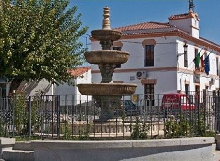
Area 62.71 km² | Local time Tuesday 1:54 PM | |
 | ||
Weather 13°C, Wind W at 19 km/h, 66% Humidity | ||
Abertura is a municipality in the province of Cáceres and autonomous community of Extremadura, Spain. The municipality covers an area of 62.71 square kilometres (24.21 sq mi) and as of 2011 it had a population of 447 people.
Contents
Map of 10262 Abertura, C%C3%A1ceres, Spain
Geography
The municipal district is generally flat, with an altitude of between 380 and 430m, taking the Esparragosa as the highest point. The main rivers are the Búrdalo and Alcollarín rivers.
Demography
Abertura has had the following populations from 1900:
Specifically, during the 2000s, the population change was as follows:
History
In 1594 Cáceres formed part of the land of Trujillo in Trujillo Province. At the fall of the old regime in the area it was part of the constitutional municipality in the region of Extremadura that, from 1834, became part of the Judicial District of Logrosán. According to an 1842 census, the area accounted for 200 households and 1096 residents.
