
OS grid reference SH3568 Sovereign state United Kingdom Local time Tuesday 12:31 PM Dialling code 01407 Post town Tŷ Croes | Community Aberffraw Country Wales Postcode district LL63 Population 959 (1895) Ceremonial county Gwynedd | |
 | ||
Weather 7°C, Wind W at 26 km/h, 87% Humidity | ||
Aberffraw 1963 no audio
Aberffraw (Welsh: Aberffro) is a small village and community on the south west coast of the Isle of Anglesey (Welsh: Ynys Môn), in Wales, by the west bank of the Afon Ffraw (Ffraw River). Access by road is by way of the A4080 and the nearest rail station is Bodorgan. In the early Middle Ages Aberffraw was the capital of the Kingdom of Gwynedd from c.860 AD until c.1170. Under the eponymous Aberffraw Dynasty it came to be the most important political centre in medieval Wales. The Llys remained the symbolic throne of the Kings of Gwynedd from the 9th century to the 13th century. The Royal Annals of Edward I of England show the Llys was dismantled in 1315 to provide building materials for nearby Beaumaris Castle.
Contents
- Aberffraw 1963 no audio
- Map of Aberffraw Ty Croes UK
- Wales coast path aberffraw to newborough
- Aberffraw village
- Governance
- Demographics
- In mythology
- References
Map of Aberffraw, Ty Croes, UK
...appeared to demonstrate the presence of a two-phase, round-angled, rectangular enclosure, at least 70m NNE-SSW, thought to represent a Roman military work, refurnished in the early medieval period as a llys (Princely court) enclosure; although a radio-carbon date centring on the period 27-387AD, appears to support this thesis, the identification of a Roman work is currently out of favour: the site of the llys, whose (partial?) dismantling is recorded in 1317, is regarded as uncertain: two sculptured heads, of apparent C13 style, are known from the village (White 1978): the putative curving angle of the enclosure has been suggested to hint at the former presence of a motte: excavations at the traditional site of the llys, about 650m to the WSW, recorded only C18 remains. Excavation, 1973-4 (White 1979) [1].
Wales coast path aberffraw to newborough
Aberffraw village
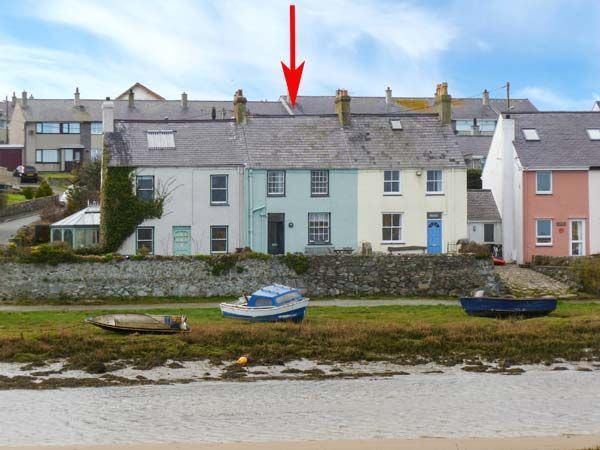
At the 2011 census, Aberffraw had a population of 620, of which 67.5% are able to speak Welsh (2011 Census). Attractions near Aberffraw village include Llyn Coron (a lake), Barclodiad y Gawres, a Neolithic burial chamber and the island of Cribinau with the 7th century church of Saint Cwyfan perched on top. The church still holds services in the summer and is sometimes used for weddings, with access by boat. The village has a sandy beach, which was awarded the Blue flag rural beach award in 2005, and is on the Anglesey Coastal Path. There is a post office in the village. St Beuno's Church, Aberffraw, dates from the 12th century and is a Grade II* listed building.The village also has an association football team.
Governance
An electoral ward in the same name exists. This ward also includes the community of Llanfaelog. The total population was 1,370.
Demographics
Aberffraw's population was 620, according to the 2011 census; a 1.97% increase since the 608 people noted in 2001.
The 2011 census showed 67.5% of the population could speak Welsh, a fall from 80.8% in 2001.
In mythology
In Welsh mythology, Aberffraw features as the site of Branwen and Matholwch's wedding festival, where Efnysien maimed Matholwch's horses.