
Country Canada Census division 8 Post office founded August 1, 1913 Elevation 681 m Population 115 (2011) Area code 306 | Rural Municipality Miry Creek Incorporated (Village) 1913 Area 77 ha Local time Tuesday 1:12 AM Province Saskatchewan | |
 | ||
Weather -10°C, Wind SE at 11 km/h, 82% Humidity | ||
Abbey is a village within rural municipality Miry Creek No. 229. Abbey ranked 4,287 in terms of population in Canada. This village is in southwestern Saskatchewan, Canada, northwest of Swift Current in Division No. 8. Abbey is serviced by Highway 32 near Highway 738.
Contents
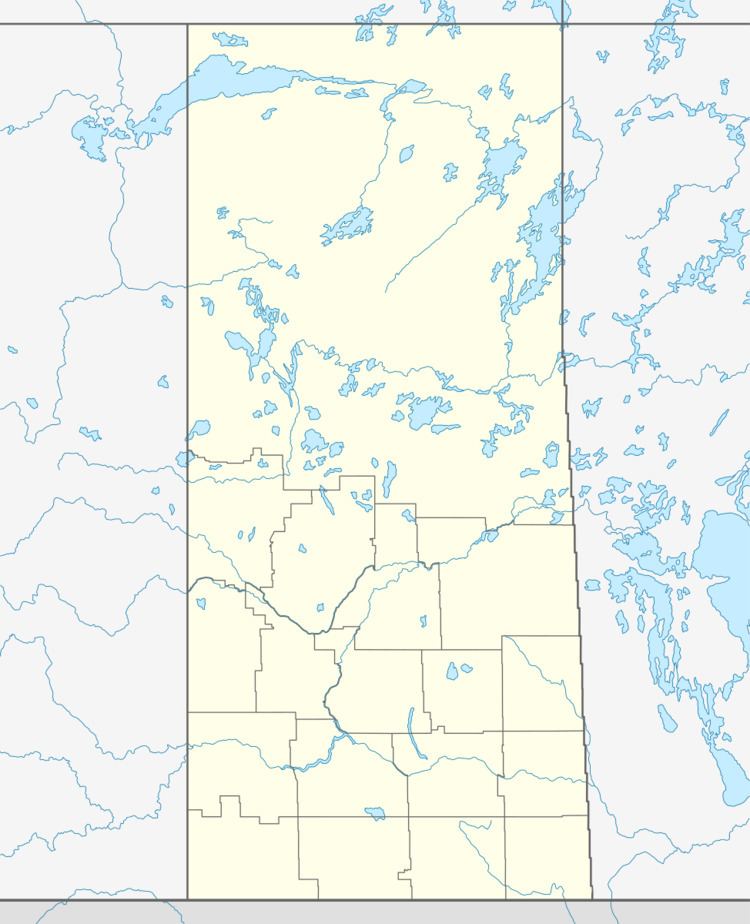
Map of Abbey, SK, Canada
History
In 1910 the first post office used by area residents was Longworth, located in the home of Cassie Baldwin.
The town site of Abbey was originally owned by a man named D.F. Kennedy. In 1913 Canadian Pacific Railway bought a quarter section of land from him to build a rail line. The C.P.R. gave Mr. Kennedy the honour of naming the town, giving it the name Abbey - the name of the Kennedy farm in Ireland.
Abbey has one municipal heritage property, the Abbey Fire Hall. Constructed in 1919 in response to a large fire that threatened the community in September 1918, the fire station was constructed as part of an upgrade to fire protection in the town. The station remained in service until a new fire station was constructed in 1975. The station is currently not in use, however the siren on the station tower is still used to signal emergencies in the town.
Geography
Abbey is located south of the South Saskatchewan River and north of The Great Sand Hills.
Area statistics
Climate
Abbey experiences a semi-arid climate (Köppen climate classification BSk) with long, cold, dry winters and short, warm summers. Precipitation is low, with an annual average of 315mm, and is concentrated in the warmer months.