
Time zone EET (UTC+2) Licence plate 37 Elevation 240 m Local time Tuesday 7:57 AM | Postal code 37xxx Climate Cfa Area 33 km² Area code 366 | |
 | ||
Weather 6°C, Wind SE at 8 km/h, 81% Humidity | ||
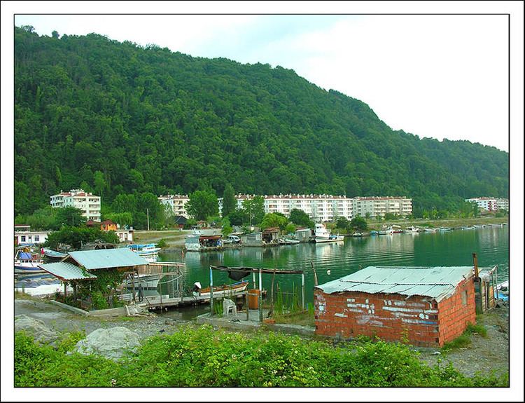
Abana is a town and district of the Kastamonu Province in the Black Sea region of Turkey. It is to the north-east of the province, on the shore of the Black Sea. According to the 2010 census, population of the district is 3583 of which 2,872 live in the town of Abana. The district covers an area of 32 km2 (12 sq mi), and the highest elevation is 300 m (984 ft).
Contents
Map of Abana, Turkey
Abana's coastline is 11 km long, of which 7 km is a natural sand beach, making the district a popular summer resort for the region.
History
Abana is the oldest town of Kastamonu, once a part of Paphlagonia, the town was ruled by the Danishmends, the Seljuk Turks, the Jandarid dynasty, and finally Ottomans. It was made a district of the Kastamonu province in 1945.
Transportion
Abana can be easily reached from Kastamonu via Devrakani.