
Time zone BRT/BRST (UTC-3/-2) | Elevation 1,052 m (3,451 ft) Area 1,044 km² | |
 | ||
Microregion | ||
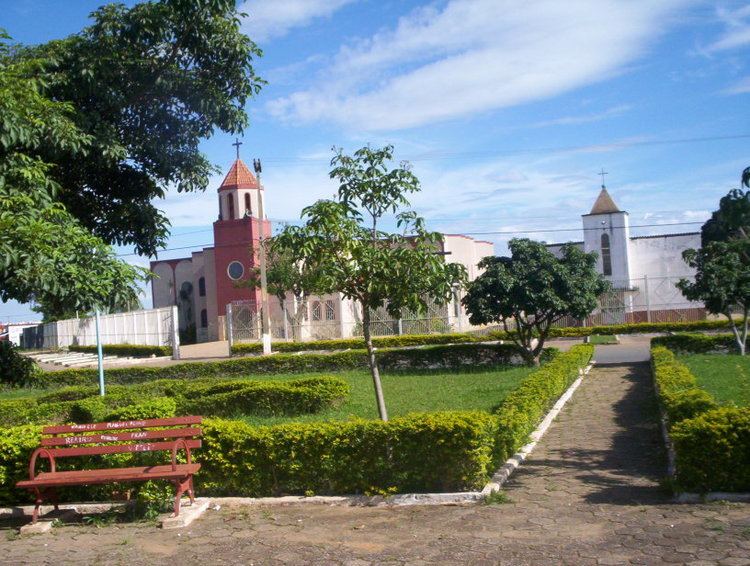
Abadi nia go diamante em forma de turismo
Abadiânia is a municipality in the state of Goiás, Brazil. It is home to a famous Brazilian medium and "psychic surgeon" — João de Deus.
Contents
- Abadi nia go diamante em forma de turismo
- Map of AbadiC3A2nia State of GoiC3A1s Brazil
- Cirurgia espiritual jo o de deus dom in cio de loyola
- Location
- Economy
- History
- Health and education
- References
Map of Abadi%C3%A2nia, State of Goi%C3%A1s, Brazil
Cirurgia espiritual jo o de deus dom in cio de loyola
Location
Abadiânia is part of the Entorno do Distrito Federal statistical micro-region. Neighboring municipalities are:
The distance to the state capital, Goiânia, is 88 km. Highway connections with Brasília, Anápolis and Goiânia are made by BR-060 (also called in the Brasília-Anápolis stretch as Belém-Brasília Highway). It is known as the City of Spiritual Cures because of the presence of psychic healer, João de Deus, who attracts many national and international tourists seeking cures for their maladies.
Located between Brasília and Goiânia on the BR-060 highway, it has always been a stopping-off point for travellers between the two cities.
Economy
There is modest agricultural production—corn, rice and soybeans—as well as cattle raising. There were two dairies JERIVÁ - Comércio, Indústria e Agropecuária Ltda. and Laticínios Vale do Capivari. (22/05/2006). There was also a meat packing plant Luiz Carlos Pavão e Outros (22/05/2006). There was one financial institution in the town in 2004: Banco Itaú S.A.
Agricultural data 2006
The main tourist attractions are two waterfalls—Cachoeira do Ribeirão Curralinho and Cachoeira Pedregulho—the Corumbá River and the religious festivals.
History
Despite being a municipality since 1953 Abadiânia was only installed in its present site in the 1960s. The population was not happy with conditions of access and little by little they began to build their houses along the highway 18 kilometers away, where the present-day town is located.
Health and education
On the Human Development Index of 2000 Abadiânia had a score of 0.723, which gave it a state ranking of 165 (out of 242 municipalities) and a national ranking of 2,569 (out of 5,507 municipalities).