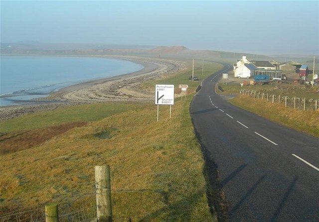
Length 23.7 km | ||
 | ||
The A847 road is one of the two principal roads of Islay in the Inner Hebrides off the west coast of mainland Scotland.
Contents
Map of A847, Isle of Islay PA44 7PA, UK
It connects Bridgend, at a junction with the A846 road, with Portnahaven at the southern end of the Rinns of Islay peninsula. It is some 14 1⁄2 miles (23 km) long.
Settlements on or near the A847
North to South
References
A847 road Wikipedia(Text) CC BY-SA
