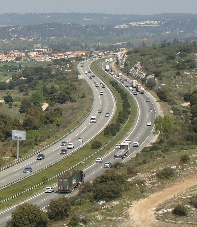
The A55 autoroute is a free motorway in southern France. It is 36.7 kilometres (22.8 mi) long.
The road starts at Marseille at La Joliette and ends to the west of Martigues where it becomes the N568 towards Arles and Nîmes.
01 (Vieux-Port) Towns served: Vieux-Port02 (Port) Towns served: Port with regular Ferry services to Corsica and Algeria03 Exchange A55-A557 Junction with the A557 to the A7 and Aix-en-Provence04 (La Madrague) La Madrague05 (L'Estaque/Le Rove) Towns served: L'Estaque, Le Rove06 (L'Estaque-Nord) Towns served: L'Estaque, Saint-AntoineJunction A7-A55 Junction with the A7Service Area: Rebuty/La Nerthe07 (Marignan) Towns served: Marignane, Gignac-la-Nerthe, Le Rove08 (Ensuès-la-Redonne) Towns served: Ensuès-la-Redonne, Carry-le-Rouet, Sausset-les-Pins09 (La Mède-Est) Towns served: La Mède, Châteauneuf-les-Martigues10 (La Mède-Est) Towns served: La Mède11 (Martigues-Est) Towns served: Martigues12 (Martigues-Sus) Towns served: Martigues, Lavéra13 (Martiques) Towns served: Martigues D5 towards Saint-Mitre-les-Remparts and IstresEnd of autoroute which merges into the N568 towards Arles, Nîmes and Montpellier.The first section was opened in 1972. The last section was completed connecting this junction to the Vieux-Port of Marseille in 1989.
This motorway will be extended towards Arles by upgrading the N568 over the Plaine de la Crau. No date has been scheduled as yet, only a by-pass for Port-de-Bouc which is currently being evaluated.