
Existed: 1969 – present Length 16.3 km | History: Completed in 1992 Constructed 1969 | |
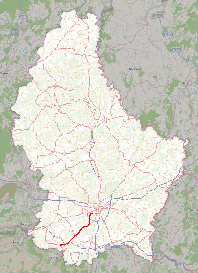 | ||
The Autoroute 4, abbreviated to A4 or otherwise known as the Esch-sur-Alzette motorway (French: Autoroute de Esch-sur-Alzette), is a motorway in southern Luxembourg. It is 16.302 kilometres (10.130 mi) long and connects Luxembourg City to Esch-sur-Alzette.
Contents
Map of A4, Luxembourg
Overview
The A4 was opened in six separate sections:
References
A4 motorway (Luxembourg) Wikipedia(Text) CC BY-SA