Country Luxembourg Area rank 87 of 105 Lowest elevation 276 m (906 ft) Area 13.57 km² Lau 2 10007 | Canton Esch-sur-Alzette Highest elevation 359 m (1,178 ft) Time zone CET (UTC+1) Local time Thursday 1:09 PM | |
 | ||
Weather 16°C, Wind SE at 6 km/h, 45% Humidity | ||
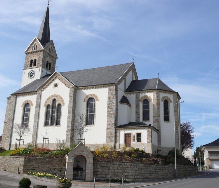
Leudelange (Luxembourgish: Leideleng, German: Leudelingen) is a commune and town in south-western Luxembourg. It is situated in the canton of Esch-sur-Alzette, district of Luxembourg.
Contents
Map of Leudelange, Luxembourg
As of 2007, the town of Leudelange, which lies in the centre of the commune, had a population of 2,100.
Leudelange was formed on 1 July 1856, when it was detached from the commune of Reckange-sur-Mess. The law forming Leudelange was passed on the 3 March 1856.
References
Leudelange Wikipedia(Text) CC BY-SA
