
South end: Park Wood Length 4.8 km | ||
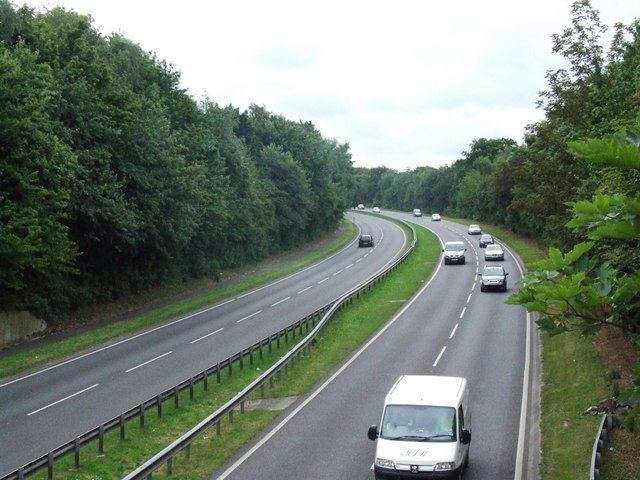 | ||
The A278 is a road running north-south in north Kent, England. The whole length of the road is dual carriageway, within Medway Council but is a non-primary route.
Contents
Map of A278, Hempstead, Gillingham ME8, UK
History
The A278 was formerly used as the number for the Felbridge - Horsham road, which is now part of the A264. However, the A278 is now used for the 3-mile (4.8 km) long dual carriageway that links the M2 to the A2.
The route
The road begins at Junction 4 of the recently widened M2 where it travels in a northerly direction towards Gillingham. About 0.5 miles (0.80 km) along the route there is a roundabout, with road links to Hempstead and Hempstead Valley Shopping Centre on the left, and Wigmore on the right. The A278 continues as a dual carriageway travelling northwards. The route is generally surrounded by trees for much of its length.
The second roundabout hosts another exit for Wigmore on the right and Gillingham Business Park on the left. The road terminates 0.5 miles (0.80 km) further north at another larger roundabout with the A2, with links to Gillingham, Gillingham Business Park, Sittingbourne and the Medway Tunnel. The road itself provides a vital link between the eastern side of the Medway towns and the M2 motorway.