
Existed: 1969 – present Constructed 1969 | Length 36.2 km | |
 | ||
History: Completed: 23 September 1996 Eastern end: Sauer Valley Bridge & Bundesautobahn 64for Trier | ||
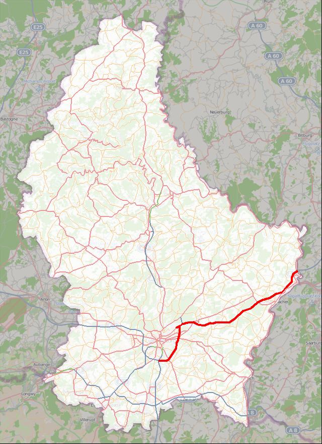
The Autoroute 1, abbreviated to A1 or otherwise known as the Trier motorway (French: Autoroute de Trèves), is a motorway in Luxembourg. It is 36.203 kilometres (22.496 mi) long and connects Luxembourg City, in the south, to Wasserbillig, in the east. A few hundred metres to the north of Wasserbillig, it reaches the German border, whereupon it becomes the A64, which leads to Trier.
Contents
Map of A1, Luxembourg
Overview
Originally a connection from Luxembourg City to Luxembourg-Findel International Airport, at Senningerberg, in 1969, the A1 was extended in three stages from 1988 to 1992 to connect to the German border. From 1994 to 1996, two more sections were opened, bypassing the south-east of Luxembourg City and connecting the A1 to the Croix de Gasperich, where it meets the A3 (to Dudelange) and A6 (towards Arlon, in Belgium).
In all, the A1 was opened in six separate sections: