
Area rank 50 of 105 Lowest elevation 256 m (840 ft) Area 21.38 km² Lau 2 10003 | Canton Esch-sur-Alzette Highest elevation 435 m (1,427 ft) Time zone CET (UTC+1) Local time Tuesday 6:06 PM | |
 | ||
Weather 7°C, Wind W at 8 km/h, 76% Humidity Clubs and Teams F91 Dudelange, Stade Dudelange, Luxembourg Steelers | ||
Time lapse dudelange
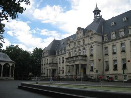
Dudelange ([dyd.lɑ̃ʒ]; Luxembourgish: Diddeleng [ˈdidəleŋ], German: Düdelingen) is a commune with town status in southern Luxembourg. It is the fourth-most populous commune, with 19,734 inhabitants. Dudelange is situated close to the border to France.
Contents
Map of Dudelange, Luxembourg
As of 2015, the town of Dudelange, which lies in the centre of the commune, has a population of 19,734 making it Luxembourg's third-most populous town. The commune also includes the smaller town of Budersberg, to the north-west. The Mont Saint-Jean, close to Budersberg, hosts the ruins of a medieval castle.
Dudelange is an important industrial town that grew out of the three villages and a steel mill in 1900. The D in the name of the ARBED steel company, later merged into ArcelorMittal, stood for Dudelange. As well as the Dudelange Radio Tower, an FM radio and television transmitter, it is also the site of the Centre national de l’audiovisuel (CNA), a cultural institute founded in 1989 under the aegis of the Ministry of Culture in order to preserve, promote and exhibit the audiovisual and photographic heritage of Luxembourg.
Dudelange is home to the most successful Luxembourg football club in recent history. F91 Dudelange won nine national titles in the period 2000 to 2011.
Twin towns and sister cities
Dudelange is twinned with: