
District Çıldır Time zone EET (UTC+2) Population 896 (2010) | Elevation 1,915 m (6,280 ft) Postal code 75400 Area code 478 | |
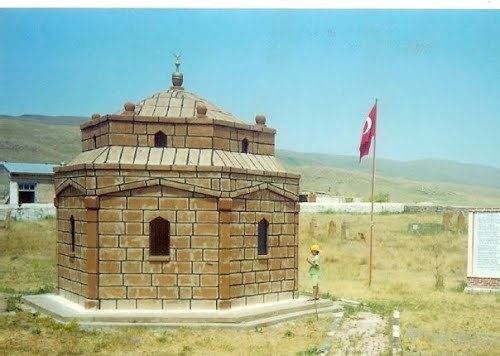 | ||
Aşıkşenlik (former Sukara and Yakınsu) is a belde (town) in Ardahan Province, Turkey. The present name of the town refers to an Aşık Şenlik, a folk poet (1850-1913).
Contents
- Map of AC59FC4B1kC59Fenlik 75400 AC59FC4B1kC59Fenlik KC3B6yC3BC2FC387C4B1ldC4B1r2FArdahan Province Turkey
- Geography
- History
- Economy
- References
Map of A%C5%9F%C4%B1k%C5%9Fenlik, 75400 A%C5%9F%C4%B1k%C5%9Fenlik K%C3%B6y%C3%BC%2F%C3%87%C4%B1ld%C4%B1r%2FArdahan Province, Turkey
Geography
Aşıkşenlik is in Çıldır district of Ardahan Province. At 41°09′N 43°13′E it is 7 kilometres (4.3 mi) to Çıldır, 45 kilometres (28 mi) to Ardahan and 4 kilometres (2.5 mi) to Georgia border check point. It is situated in a high altitude wetland. The population of the town is 896 as of 2010.
History
Aşıkşenlik is an old settlement It was captured by Seljukid sultan Alp Arslan in 1064. After Harzemshah, Kipchaks and Mongols dominations it was annexed by the Ottoman sultan Süleyman I in 1546. According to Evliya Çelebi who lived in the 17th century, Aşıkşenlik (then known as Sukara) was one of the wealthiest towns of the Ottoman Empire in the east. In 1877 Russians captured Aşıkşenlik during the Russo-Turkish War (1877-1878). But in 1921 it was returned to Turkey. It was officially declared township in 1966.
Economy
Animal husbandry is the main economic sector. Ovine and cattle as well as goose are raised. Although the border check point is nearby, the gate is closed and at the moment there is no revenue from border trade.