
Local time Sunday 10:17 PM | Time zone AZT (UTC+4) Population 291 (2005) | |
 | ||
Weather -1°C, Wind N at 5 km/h, 60% Humidity Rayons Ordubad District, Nakhchivan Autonomous Republic | ||
Ağrı (also, Aghry) is a village in the Ordubad Rayon of Nakhchivan, Azerbaijan. It is part of the municipality of the Vənənd village. The village is located in the right side of the Ordubad-Unus highway, 15 km away from the district center, on the left banks of the Venendchay river. Its population mainly is busy with gardening, vegetable-growing, silkworm breeding and animal husbandry. There are secondary school, club and a medical center in the village. It has a population of 291.
Contents
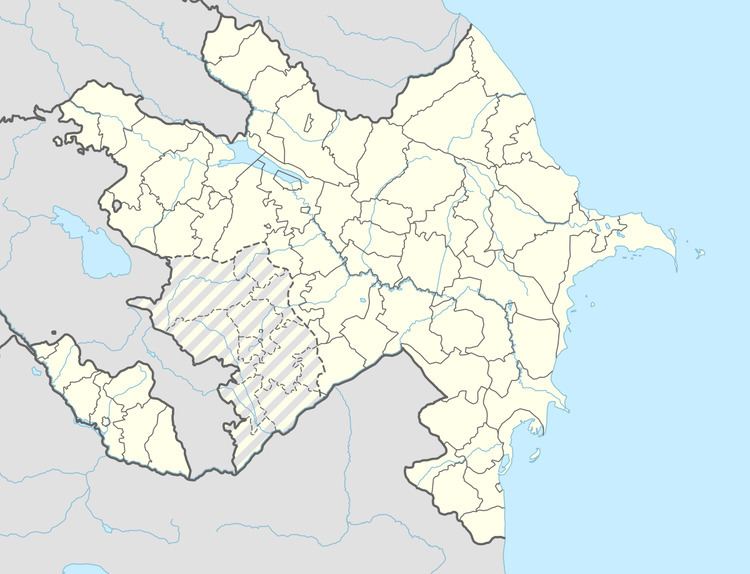
Map of Aghri, Azerbaijan
Etymology
The village took its name from the Ağrıdağ (Aghrydagh) Mount located in the east of the Turkey. In the Turkic languages the word of ağrı / ağru means "high, height".
References
Ağrı, Azerbaijan Wikipedia(Text) CC BY-SA