Elevation 1,410 m (4,630 ft) Postal code 70000 Area code 0338 | Time zone EET (UTC+2) Population 128 (2011) | |
 | ||
District Karaman central district | ||
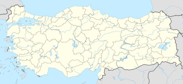
Ağaçyurdu is a village the central district (Karaman) of Karaman Province, Turkey. At 37°27′N 33°30′E it is situated to the east of Turkish state highway . Its distance to Karaman is 28 kilometres (17 mi) . The population is of Ağaçyurdu is 128. as of 2011. Major economic activity of the village is agriculture. Main crops are citrus and apple. Dairying is a secondary activity.
Map of A%C4%9Fa%C3%A7yurdu, 70000 A%C4%9Fa%C3%A7yurdu K%C3%B6y%C3%BC%2FKaraman Merkez%2FKaraman, Turkey
References
Ağaçyurdu, Karaman Wikipedia(Text) CC BY-SA
