
Magnitude 5.9 Ms or 6.0 Mw Tsunami None Date 21 August 2008 | Epicenter (Yingjiang, Yunnan) Depth 10,000 m | |
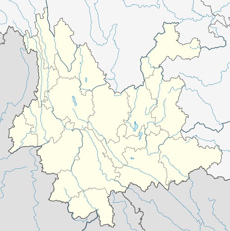 | ||
Areas affected People's Republic of China
Burma Max. intensity liedu VIII (Heavily damaging) Casualties 5 killed, 130 injured, 21 serious Similar 2014 Kangding earthquake, 2008 Damxung earthquake, 2008 Panzhihua earthquake, 2008 Peloponnese earthquake, 2008 Iceland earthquake | ||
The 2008 Yingjiang earthquakes were a series of major earthquakes ranging from surface wave magnitude (Ms) 4.1 to 5.9 that struck Yingjiang County, Yunnan province, China between August 19 (in UTC; August 20 local time) and September 3. It caused 5 deaths, 21 serious injuries, and RMB 2.7 billion in direct economic damage. USGS put the magnitude of the strongest one to Mw 6.0.
Contents
Earthquake details
According to the China Earthquake Administration (CEA) and its subordinate China Earthquake Network Center (CENC), a Ms 5.0 earthquake struck Yingjiang County, Yunnan province, China on August 20, 2008 at 05:35:09 China Standard Time (CST - 2135 UTC, August 19, 2008). A CEA report published on September 17 described two additional strong quakes of Ms 4.9 and Ms 5.9 in the same area the following day; CENC's data base, on the other hand, did not include the earthquake of Ms 4.9 at 20:20 CST on August 21 as the CEA report described, but reveals additional ones after the date.
Sequence of earthquakes
Note: Earthquakes #4 and after are not included in CEA summary; earthquake #2 is unaccounted for in CENC data base.
Response, casualties, and intensities
According to CEA, these earthquakes caused 5 deaths and 21 serious injuries. Through Yunnan Earthquake Administration (YNEA), the provincial government invoked Level IV emergence response protocol in the relief. Affected people amounted to 209,605, roughly 2/3 of the total population in affected areas. Direct financial damage amounted to RMB 1.3 billion. In addition to building damage, the heaviest infrastructure damage occurred to water resources facilities.
On the seismic intensity map published by CEA, maximum intensity of these earthquakes reached liedu VIII on China Seismic Intensity Scale (CSIS), which is somewhat equivalent to VIII (Heavily damaging) on EMS-94 from which CSIS drew reference. Liedu-VIII zone spans 26 km2 near the epicenter. Total area of liedu VI (Slightly damaging) and above is a north-south oval of 4,511 km2.