
Magnitude 7.5 Mw Tsunami Yes | Casualties 15 | |
 | ||
Date March 5, 2002 (2002-03-05) | ||
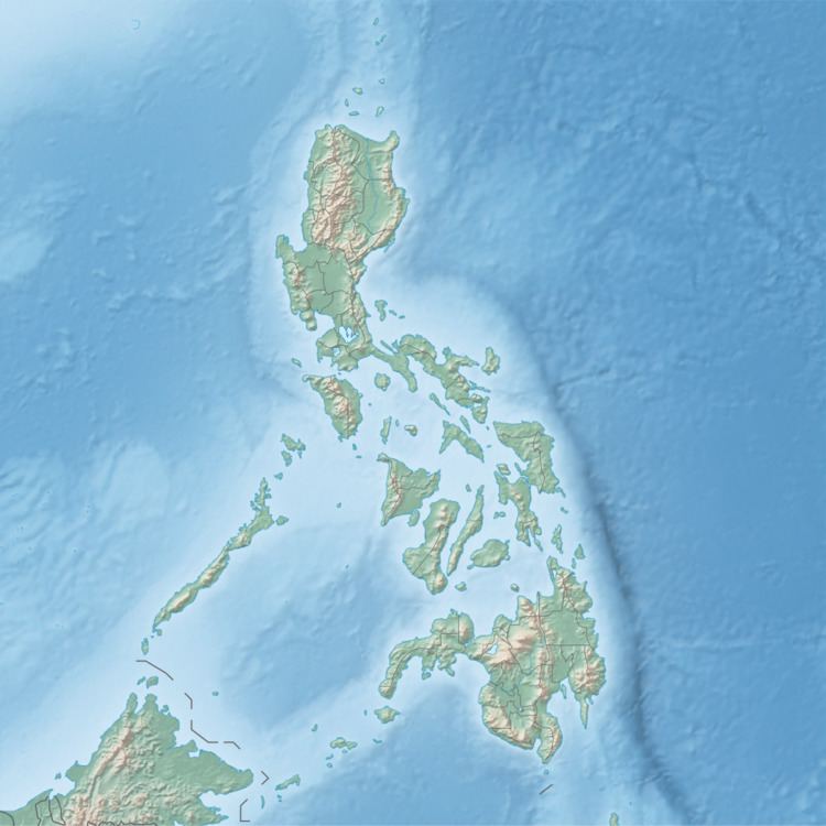
The 2002 Mindanao earthquake struck the Philippines on March 5. The sixth most powerful earthquake of the year, it registered a magnitude of 7.5 and was a megathrust earthquake. It originated near the Cotabato Trench, a zone of deformation situated between the Philippine Sea Plate and the Sunda Plate. The entire country is characterized by a high level of volcanic and seismic activity. The earthquake was responsible for 15 deaths and roughly 100 injuries. Up to 800 buildings were damaged as a result, many from a flood generated by landslides and falling debris. A tsunami followed the earthquake.
Contents
Geology
The epicenter of the earthquake was located near the Cotobato Trench; the magnitude of this megathrust earthquake was 7.5, the sixth strongest of the year. It occurred in a zone of geologic deformation along the Sunda and Philippine Sea Plates, which converge at a rate of 6 centimeters (2 in) each year. The Philippines sits on several microplates between two convergent plates, the Philippine Plate and the Eurasian Plate. Tectonic activity in the country includes both earthquakes and volcanic eruptions. Because of subduction of the Eurasian Plate to the west, volcanic activity occurs along the Manila Trench and the Sulu Trench, often of powerful caliber. 13 percent of recorded eruptions in the Philippines have been deadly, as the country is responsible for the world's most deaths in volcanic eruptions. Seismicity as well has been powerful: in the last 50 years, more than half of the country's major earthquakes have reached magnitude 7.0 or greater. The earliest known major shock was in 1976, killing some 8,000 people. The Mindanao event was the fourth of seven major events since 1975.
Damage and casualties
Killing 15 and injuring roughly 100, the earthquake damaged as many as 800 buildings throughout the southern and central parts of Mindanao. It spawned landslides in South Cotabato Province which flowed through the crater lake on Mount Parker, creating a widespread flood. These large flows of water surged past homes - sweeping them away - and enveloped at least 9 districts of the Province. It also created local tsunamis reaching a maximum height of 3 meters (10 ft) at Kiamba, Maitum and Palimbang. The earthquake was powerful enough to knock over concrete walls and fences. Sending debris raining down on people, the earthquake rocked homes and sent objects flying off of shelves. The earthquake was responsible for the destruction of a major road.