Magnitude 7.1 Mw Type Strike-slip Tsunami Yes | Depth 33 km | |
 | ||
Date November 14, 1994, at 19:15 UTC Similar Typhoon Angela, Typhoon Koryn (1993), Bocaue Pagoda Tragedy | ||
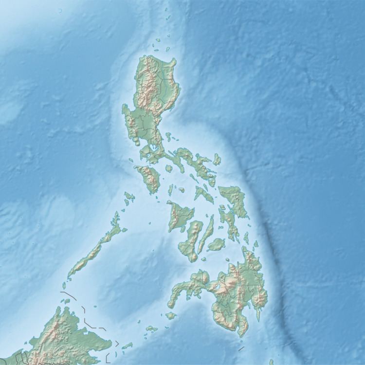
The 1994 Mindoro earthquake occurred on November 15 at 03:15 local time near Mindoro, the Philippines. It had a moment magnitude of 7.1. It is associated with a 35 kilometer-long ground rupture, called the Aglubang River fault. Seventy eight people were reported dead, and 7,566 houses were damaged. The earthquake generated a tsunami and landslides on the Verde Island.
Contents
Earthquake
The epicenter of this earthquake was located in the Verde Island Passage, a strait separating Luzon and Mindoro. The focal mechanism showed predominantly right-lateral strike-slip faulting. The released seismic moment was about 5.12×10¹⁹ Nm.
Surface faulting
The Aglubang River fault, which shows a right-lateral strike-slip sense of movement, extends from Malaylay Island in the north of Oriental Mindoro to Alcate, Victoria in the south. Measurements along the rupture reveal a maximum horizontal displacement of 4 meters and a maximum vertical displacement of 1.9 meters.
Tsunami
The earthquake generated a tsunami, which affected Mindoro, the Verde Island, the Baco Islands, and Luzon. Some concrete structures also suffered moderate damage in the tsunami. In Baco Islands, the vertical run-up reached 8.5 meters (28 ft). The tsunami was also recorded in Lobo. The tsunami was larger than expected considering the strike-slip movement of the earthquake.
