
Magnitude 8.3 Mw 8.1 Mj | Depth 3 km (2 mi) | |
 | ||
Date October 4, 1994, at 13:23:00 UTC Casualties 10–12 dead242–1,742 injured1,200 homeless | ||
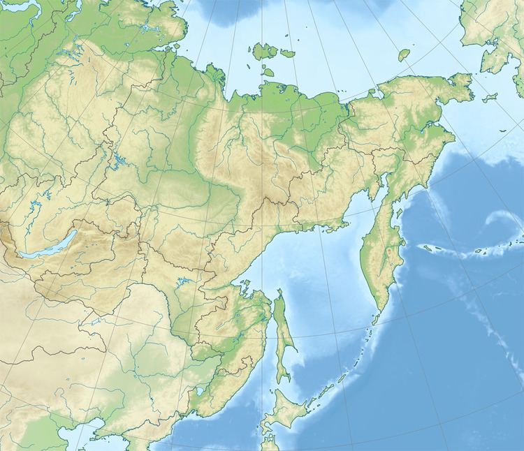
The 1994 Kuril Islands earthquake occurred on October 5 at 00:23:00 local time. The magnitude of this earthquake was put at Mw 8.2, or Mj 8.1. The epicenter was located at about 70 km east of Shikotan Island. The shaking and tsunami caused road and building damage. At least 10 people were reported dead.
Contents
Earthquake
This earthquake was an intra-slab earthquake within the Pacific Plate which is subducting beneath the Okhotsk Plate.
Damage
Oil storage tanks in Malokurilsk and Krabozavodsk were damaged. An oil leak occurred and causing heavy contamination of the port area.
Intensity
The intensity was MSK VI~IX in Shikotan Island.
The earthquake could be felt in Tokyo with shindo 3, and in Hokkaido, the highest intensity reached shindo 6.
Aftershocks
A large aftershock of magnitude Mw 7.1 or Ms 7.7 occurred on October 9, 1994, at 07:55 UTC. It was located at 43.97° N, 148.22° E with a depth of 33 km. It generated a tsunami, and a peak-to-trough tsunami wave height of 18 cm was recorded in Hanasaki, Japan.
Tsunami
A numerical simulation of the tsunami suggested that the first wave was caused by a significant subsidence north of the Kuril Islands due to the earthquake.
A peak-to-trough tsunami wave height of 346 cm was recorded in Hanasaki, Japan.
This earthquake triggered a tsunami in southern Kuril Islands and Hokkaido. The tsunami run-up height was more than 3 m in Yuzhno-Kurilsk bay and 5 m in Zelenyi Island, Russia.