Time zone AZT (UTC+4) Population 894 (2005) | Local time Tuesday 9:45 AM | |
 | ||
Weather 7°C, Wind S at 3 km/h, 50% Humidity | ||
Ərəbyengicə (also, Ərəb Yengicə, Arab Yengidzha) is a village and municipality in the Sharur District of Nakhchivan Autonomous Republic, Azerbaijan. It is located 12 km in the south from the district center, on the left bank of the Arpachay River. Its population is busy with farming and animal husbandry. There are secondary school, club and a medical center in the village. It has a population of 894.
Contents
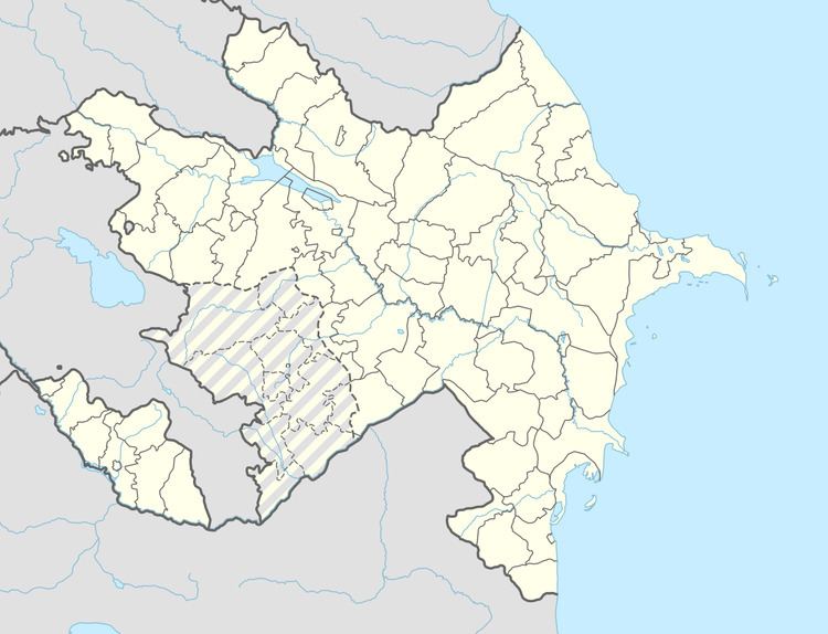
Map of %C6%8Fr%C9%99byenigic%C9%99, Azerbaijan
Etymology
The name of Ərəbyengicə (Arabyengidzha) village made out from the words of ərəb (etno-name) and yengicə (new, fresh) means "new Arab village, or the new founded Arab village".
Ərəbyengicə
Ərəbyengicə - the ancient settlement in the south of the same named village in Sharur region, about in the 200 meters north from the Araz River. The area of the monument approximately is 0.8 hectares. During the farm works, the monument were badly damaged and only remained a central part in 80–90 cm of height. The collected materials shows the existence of cultural layers of the Eneolithic and Kura-Aras in here. Because of the Eneolithic ceramic fragments made from clay are small, it is not possible to determine the forms of pots. Just can be mentioned the fact that the edge of the mouth of the pots is cut straight. There are examples of both good and poor cooked. Surfaces were slightly smoothed. In general, the ceramic is more close to the materials of Kultepe I. In the settlement has been found the remains of obsidian. The settlement is belongs to the 4 - 3 millennium of BC.
