
Country Macedonia Time zone CET (UTC+1) Area code 032 | Municipal seat Štip car plates ŠT Area 583.2 km² | |
 | ||
University Goce Delčev University of Štip | ||
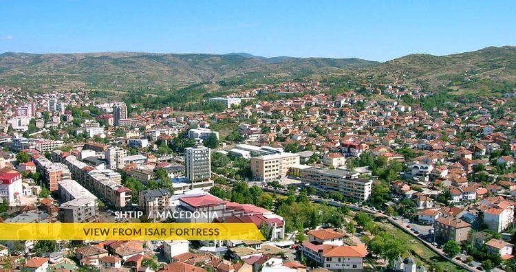
Štip (Macedonian: Штип [ʃtip]) is a municipality in eastern Republic of Macedonia. Štip is also the name of the town where the municipal seat is found. This municipality is part of the Eastern Statistical Region.
Contents
Map of Shtip, Macedonia (FYROM)
Geography
Štip Municipality covers an area of 583.24 km². The river Bregalnica runs through the municipality.
The municipality borders Probištip Municipality and Sveti Nikole Municipality to the north, Radoviš and Karbinci municipalities to the east, Lozovo and Gradsko municipalities to the west, and Konče Municipality to the south.
Demographics
At the census of 2002 the municipality had 47,796 residents. At the census taken in 1994 the number of inhabitants was 46,372. Most of them live in the municipality center Štip, approximately 41,000, while the rest live in villages. Ethnic groups in the municipality:
Inhabited places
The number of the inhabited places in the municipality is 44.