
Country Macedonia Time zone CET (UTC+1) Area 236.2 km² | Municipal seat Gradsko, Macedonia car plates VE Area code 043 | |
 | ||
Website | ||
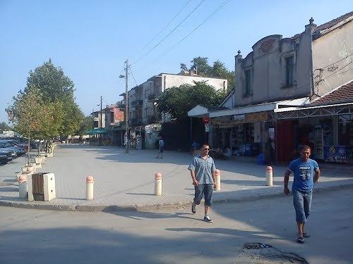
Gradsko (Macedonian: Градско, [ˈɡrat͡sːkɔ] ) is a municipality in eastern Republic of Macedonia. Gradsko is also the name of the village where the municipal seat is found. Gradsko Municipality is part of the Vardar Statistical Region.
Contents
Map of Municipality of Gradsko, Macedonia (FYROM)
Geography
The municipality borders Veles Municipality and Lozovo Municipality to the north, Štip Municipality to the east, Čaška Municipality to the west, and Rosoman Municipality to the south.
Demographics
The municipality has 3,760 inhabitants, according to the 2002 census. Ethnic groups in the municipality:
Inhabited places
The number of the inhabited places in the municipality is 16.
References
Gradsko Municipality Wikipedia(Text) CC BY-SA