
- summer (DST) CEST (UTC+2) Area 3.02 km² Team TJ Tatran Štítina | Elevation 238 m Local time Monday 1:01 AM | |
 | ||
Weather 12°C, Wind NW at 11 km/h, 77% Humidity | ||
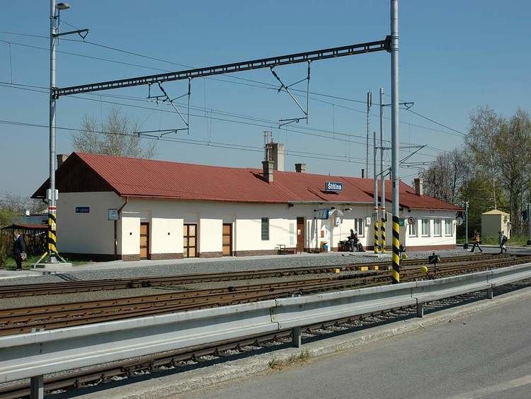
Štítina (German: Stettin, Silesian: Ščičina) is a village in Czech Republic, about 10 kilometers east of Opava.
Contents
Map of %C5%A0t%C3%ADtina, Czechia
History
Štítina was first mentioned in 1282. The original keep built by the lords of Benešov was later rebuilt into a moated renaissance castle. In 1785, the castle was turned into a brewery and in 1988, the tumbledown building was eventually demolished.
At the end of World War II, large tank battle took place between Štítina and Kravaře and the village itself was badly damaged.
Notable residents
References
Štítina Wikipedia(Text) CC BY-SA